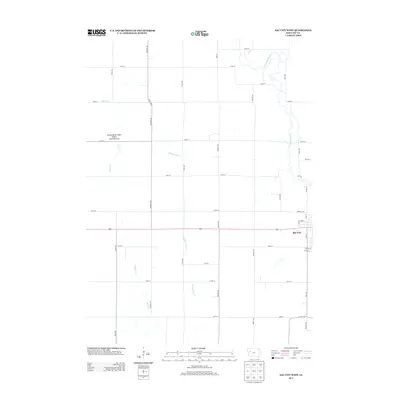
2013 Map of Sac City West
USGS Topo · Published 2013About this map
Sac City anchors the eastern edge of this western Sac County landscape, where the street grid of the town meets the sprawling agricultural fields of central Iowa. The most prominent natural feature is the meandering N Raccoon River, which winds through the northeastern corner, accompanied by various waterways like Indian Creek and the man-made Drainage Ditch 71. This area is shaped by a rigorous grid of section roads including Needham Ave and Otter Ave, illustrating the region's heavy reliance on organized land management and drainage systems to support its farming economy. In the western portion of the map, the Kiowa Marsh State Public Hunting Area stands out as a protected wetland and conservation zone, offering a distinct break from the surrounding row crops and rural road network.
Find a feature on this map
37 named features on this map. Tap any name to fly to it.
Don’t see what you’re looking for? This feature index may not catch every label — zoom into the map to look around manually.
Map Details
Editions of this 2013 Sac City West Map
This is the sole edition of this map. No revisions or reprints were ever made.
Other maps of this area

1954 · Fort Dodge
USGS Topo · 1:250,000

1957 · Fort Dodge
USGS Topo · 1:250,000

1958 · Fort Dodge
USGS Topo · 1:250,000

1979 · Lakeside
USGS Topo · 1:24,000

1979 · Newell West
USGS Topo · 1:24,000

1979 · Newell East
USGS Topo · 1:24,000

1980 · Odebolt East
USGS Topo · 1:24,000

1980 · Sac City East
USGS Topo · 1:24,000

1980 · Grant City
USGS Topo · 1:24,000

1980 · Early
USGS Topo · 1:24,000