
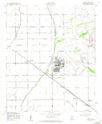
1956 Map of Sacaton NE
USGS Topo · Published 1959About this map
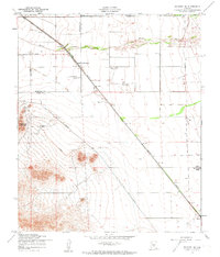
Goldmine Mountain dominates the southwestern corner of this mid-century landscape, overlooking an area where desert terrain meets the expanding infrastructure of the Gila River Valley. The Southern Pacific railroad cuts a diagonal line across the quadrangle, serving local agricultural and industrial needs through stops like Queen Creek Siding and the settlement of Magma. Water management is a critical theme of the era, visible in the presence of a Diversion Dike and the seasonal path of Queen Creek, which is flanked by occasional vegetation.
Find a feature on this map
16 named features on this map. Tap any name to fly to it.
Don’t see what you’re looking for? This feature index may not catch every label — zoom into the map to look around manually.
Map Details
Editions of this 1956 Sacaton NE Map
4 editions found
Other maps of this area

1900 · Florence
USGS Topo · 1:125,000

1902 · Florence
USGS Topo · 1:125,000

1904 · Desert Well
USGS Topo · 1:62,500

1906 · Desert Well
USGS Topo · 1:62,500

1907 · Sacaton
USGS Topo · 1:62,500

1954 · Mesa
USGS Topo · 1:250,000

1956 · Magma
USGS Topo · 1:24,000
1956 · Chandler Heights
USGS Topo · 1:24,000

1956 · Desert Well
USGS Topo · 1:24,000
1956 · Higley
USGS Topo · 1:24,000