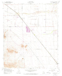
1956 Map of Sacaton NE
USGS Topo · Published 1975About this map
The Southern Pacific railroad corridor defines this mid-century landscape of the Sonoran Desert, cutting a straight diagonal across the basin near the border of Maricopa Co and Pinal Co. In this era before widespread suburbanization, the map reveals a sparsely settled territory focused on rail transit and emerging agriculture. Significant military infrastructure is present at the Rittenhouse AF Auxiliary Field in the north, while the southern reaches show early industrial and farming outposts like Bellavista Farms and the settlement of Magma.
Find a feature on this map
17 named features on this map. Tap any name to fly to it.
Don’t see what you’re looking for? This feature index may not catch every label — zoom into the map to look around manually.
Map Details
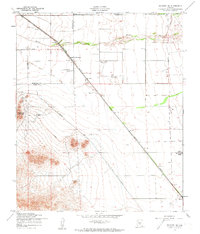
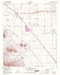
Editions of this 1956 Sacaton NE Map
4 editions found
Other maps of this area

1900 · Florence
USGS Topo · 1:125,000

1902 · Florence
USGS Topo · 1:125,000

1904 · Desert Well
USGS Topo · 1:62,500

1906 · Desert Well
USGS Topo · 1:62,500

1907 · Sacaton
USGS Topo · 1:62,500

1954 · Mesa
USGS Topo · 1:250,000

1956 · Sacaton NE
USGS Topo · 1:24,000

1956 · Magma
USGS Topo · 1:24,000
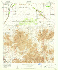
1956 · Chandler Heights
USGS Topo · 1:24,000

1956 · Desert Well
USGS Topo · 1:24,000