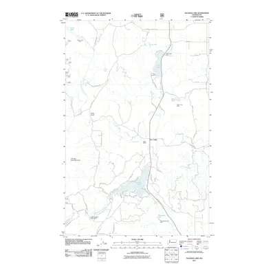
2011 Map of Sacheen Lake
USGS Topo · Published 2011About this map
Sacheen Lake serves as a central landmark in this corner of Pend Oreille County, where several drainages converge amidst high ridges. The landscape is defined by its water management history, evidenced by the series of dams including the Little Spokane River Dam on the West Branch Little Spokane River, as well as structures at Davis Lake, Baker Lake, and Power Lake. These reservoirs and their associated creeks, such as North Fork Calispell Creek and Moon Creek, dictate the local geography.
Find a feature on this map
67 named features on this map. Tap any name to fly to it.
Don’t see what you’re looking for? This feature index may not catch every label — zoom into the map to look around manually.
Map Details
Editions of this 2011 Sacheen Lake Map
This is the sole edition of this map. No revisions or reprints were ever made.
Other maps of this area

1936 · Newport
USGS Topo · 1:96,000

1942 · Newport
USGS Topo · 1:125,000

1958 · Sandpoint
USGS Topo · 1:250,000

1963 · Sandpoint
USGS Topo · 1:250,000

1968 · Cusick
USGS Topo · 1:24,000
1968 · Winchester Peak
USGS Topo · 1:24,000
1968 · Fan Lake
USGS Topo · 1:24,000
1968 · Camden
USGS Topo · 1:24,000
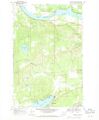
1968 · Diamond Lake
USGS Topo · 1:24,000
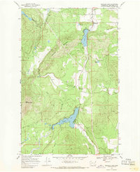
1968 · Sacheen Lake
USGS Topo · 1:24,000