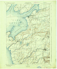
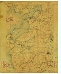
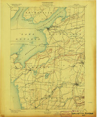
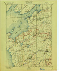
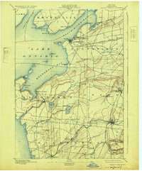
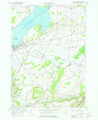
1895 Map of Sackets Harbor
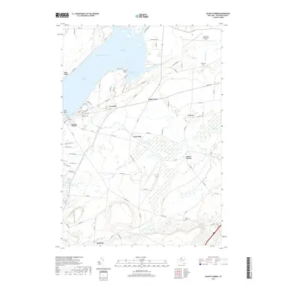
USGS Topo · Published 1934About this map
Madison Barracks and the strategic waterfront of Sackets Harbor dominate this late-19th-century survey of eastern Lake Ontario. The map reveals a landscape defined by its maritime and military significance, featuring the Sackets Harbor L. H. at Navy Pt. and the complex shoreline of Henderson Bay. Further inland, the agricultural and commercial life of Jefferson County is evident through a network of small settlements such as Adams Center, Smithville, and Belleville. The rail infrastructure of the era is well-represented by the Rome Watertown and Ogdensburg R. R. and the Carthage Branch, which connected these rural communities to the larger regional economy. From the rugged points like Pillar Point to the quiet waters of Six Town Pond, the topography illustrates the transition from rocky coastline to the fertile drainage basins of Sandy Creek and Stony Creek.
Find a feature on this map
65 named features on this map. Tap any name to fly to it.
Don’t see what you’re looking for? This feature index may not catch every label — zoom into the map to look around manually.
Map Details
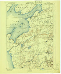
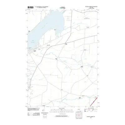
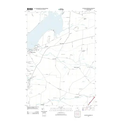
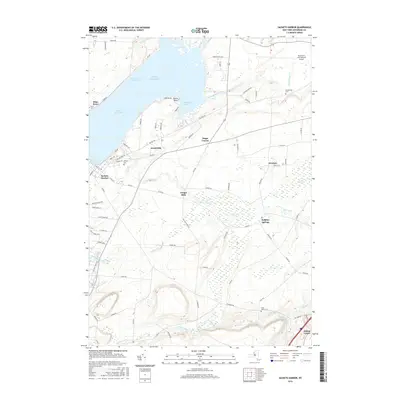
Editions of this 1895 Sackets Harbor Map
8 editions found

Historical Maps of Brownville Through Time
9 maps found

1893 Sackets Harbor
Jefferson County, NY
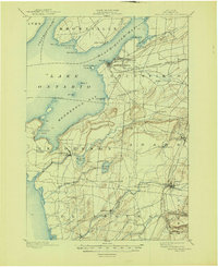
1895 Sackets Harbor
Jefferson County, NY
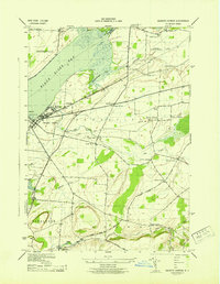
1943 Sackets Harbor
Jefferson County, NY
1959 Sackets Harbor
Jefferson County, NY
2010 Sackets Harbor
Jefferson County, NY
2013 Sackets Harbor
Jefferson County, NY
2016 Sackets Harbor
Jefferson County, NY
2019 Sackets Harbor
Jefferson County, NY

2023 Sackets Harbor
Jefferson County, NY