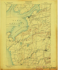
1895 Map of Sacketts Harbor
USGS Topo · Published 1907About this map
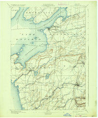
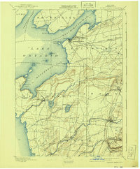
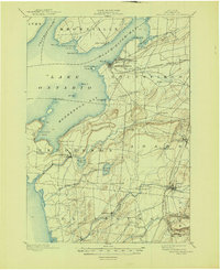
Madison Barracks and the maritime activities of Lake Ontario define this shoreline survey of Jefferson County. The military presence at the barracks stands adjacent to Sacketts Harbor, a vital port marked by the Sacketts Harbor L.H. at Navy Pt. and sheltered by Horse Id. The inland geography transitions from the jagged coastlines of Henderson Bay and Black River Bay to a dense network of farming hamlets and family-named crossroads like Stowell Corner and Greens Settlement.
Find a feature on this map
64 named features on this map. Tap any name to fly to it.
Don’t see what you’re looking for? This feature index may not catch every label — zoom into the map to look around manually.
Map Details
Editions of this 1895 Sacketts Harbor Map
8 editions found
Other maps of this area

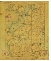
1893 · Sackets Harbor
USGS Topo · 1:62,500

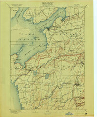
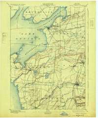
1895 · Sacketts Harbor
USGS Topo · 1:62,500

1895 · Stony Island
USGS Topo · 1:62,500

1895 · Pulaski
USGS Topo · 1:62,500

1895 · Watertown
USGS Topo · 1:62,500

1895 · Cape Vincent
USGS Topo · 1:62,500

1898 · Watertown
USGS Topo · 1:62,500

1900 · Clayton
USGS Topo · 1:62,500

1903 · Clayton
USGS Topo · 1:62,500

1903 · Theresa
USGS Topo · 1:62,500