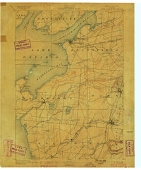
1895 Map of Sacketts Harbor
USGS Topo · Published 1899About this map
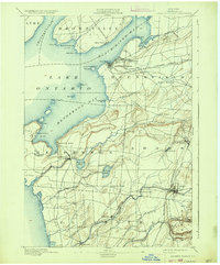
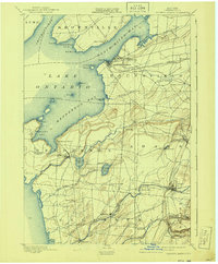
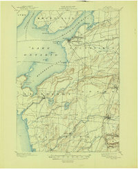
Madison Barracks stands as a prominent military installation overlooking Black River Bay in this 1893 survey of Jefferson County. The strategic importance of the shoreline is evident in the cluster of maritime and military landmarks around Sacketts Harbor, including the Sacketts Harbor L. H. and the rugged coastal formations of Pillar Point and Horse Id. Inland, the landscape is defined by the burgeoning rail network of the Rome Watertown and Ogdensburg R. R., which links agricultural hubs like Adams Center and Adams. Smaller social clusters such as Greens Settlement, Thomas Settlement, and Hungerford Corners provide a detailed look at late 19th-century rural life, while the many creeks—Sandy Creek, Stony Creek, and Muskalonge Creek—suggest the water power that once fueled local milling operations.
Find a feature on this map
65 named features on this map. Tap any name to fly to it.
Don’t see what you’re looking for? This feature index may not catch every label — zoom into the map to look around manually.
Map Details
Editions of this 1895 Sacketts Harbor Map
8 editions found
Other maps of this area

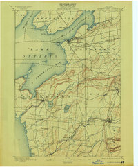
1893 · Sackets Harbor
USGS Topo · 1:62,500

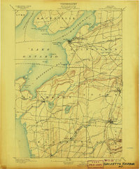
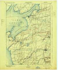
1895 · Sacketts Harbor
USGS Topo · 1:62,500

1895 · Stony Island
USGS Topo · 1:62,500

1895 · Pulaski
USGS Topo · 1:62,500

1895 · Watertown
USGS Topo · 1:62,500

1895 · Cape Vincent
USGS Topo · 1:62,500

1898 · Watertown
USGS Topo · 1:62,500

1900 · Clayton
USGS Topo · 1:62,500

1903 · Clayton
USGS Topo · 1:62,500

1903 · Theresa
USGS Topo · 1:62,500