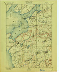
1895 Map of Sacketts Harbor
USGS Topo · Published 1913About this map
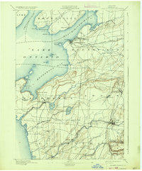
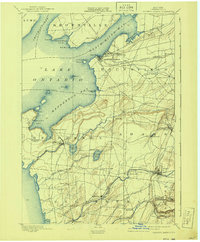
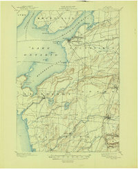
Madison Barracks and the strategic waterfront of Sacketts Harbor anchor this late 19th-century survey of Jefferson County's shoreline. The map illustrates a complex coastal geography defined by Henderson Bay, Black River Bay, and the prominent peninsula of Pillar Point. Inland, the landscape is a network of small agricultural hubs and family-named junctions such as Stowell Corner and Greens Settlement. The era's heavy reliance on rail is evident in the path of the Rome Watertown and Ogdensburg R. R. and the Carthage Branch, which connected these lakeside communities to the interior of New York. From the lighthouse at Sacketts Harbor L. H. to the milling waters of Sandy Creek, the sheet documents a well-established maritime and rural economy before the full onset of 20th-century modernization.
Find a feature on this map
65 named features on this map. Tap any name to fly to it.
Don’t see what you’re looking for? This feature index may not catch every label — zoom into the map to look around manually.
Map Details
Editions of this 1895 Sacketts Harbor Map
8 editions found
Other maps of this area

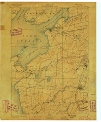
1893 · Sackets Harbor
USGS Topo · 1:62,500

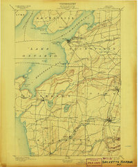
1895 · Sacketts Harbor
USGS Topo · 1:62,500

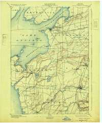
1895 · Stony Island
USGS Topo · 1:62,500

1895 · Pulaski
USGS Topo · 1:62,500

1895 · Watertown
USGS Topo · 1:62,500

1895 · Cape Vincent
USGS Topo · 1:62,500

1898 · Watertown
USGS Topo · 1:62,500

1900 · Clayton
USGS Topo · 1:62,500

1903 · Clayton
USGS Topo · 1:62,500

1903 · Theresa
USGS Topo · 1:62,500