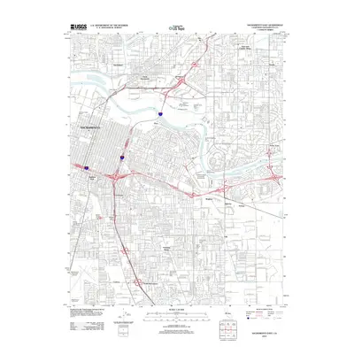
2012 Map of Sacramento East
USGS Topo · Published 2012About this map
The American River serves as the central geographic feature of this 2012 study, dividing the core urban grid of Sacramento from the sprawling residential developments of Arden Town and Arcade. This modern survey illustrates the dense network of transit and industry that defines the region, from the extensive Southern Pacific Shops and Western Pacific Shops to the major freeway interchanges of I-80 and Us 50.
Find a feature on this map
48 named features on this map. Tap any name to fly to it.
Don’t see what you’re looking for? This feature index may not catch every label — zoom into the map to look around manually.
Map Details
Editions of this 2012 Sacramento East Map
This is the sole edition of this map. No revisions or reprints were ever made.
Other maps of this area

1891 · Sacramento
USGS Topo · 1:125,000

1892 · Sacramento
USGS Topo · 1:125,000

1893 · Sacramento
USGS Topo · 1:125,000

1894 · Lodi
USGS Topo · 1:125,000

1902 · Fairoaks
USGS Topo · 1:62,500

1907 · Davisville
USGS Topo · 1:62,500

1908 · Courtland
USGS Topo · 1:62,500

1909 · Elk Grove
USGS Topo · 1:31,680

1909 · Florin
USGS Topo · 1:31,680

1911 · Brighton
USGS Topo · 1:31,680