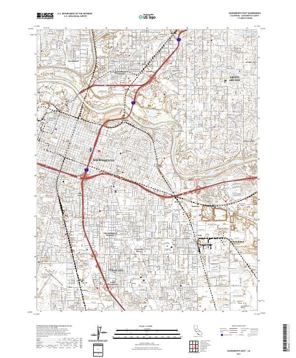
2021 Map of Sacramento East
USGS Topo · Published 2021About this map
Sacramento serves as the focal point of this 2021 study, where the American River bends past the grounds of California State University Sacramento and into the heart of the city. The landscape is defined by its diverse residential and industrial zones, from the established neighborhoods of Oak Park and North Sacramento to the newer reaches of Arden-Arcade. A notable concentration of memorial sites, including Saint Josephs Cem, East Lawn Memorial Cem, and the Sacramento Memorial Lawn Cem, provides significant genealogical value, anchoring the history of the local population within the modern urban grid.
Find a feature on this map
52 named features on this map. Tap any name to fly to it.
Don’t see what you’re looking for? This feature index may not catch every label — zoom into the map to look around manually.
Map Details
Editions of this 2021 Sacramento East Map
This is the sole edition of this map. No revisions or reprints were ever made.
Other maps of this area

1891 · Sacramento
USGS Topo · 1:125,000

1892 · Sacramento
USGS Topo · 1:125,000

1893 · Sacramento
USGS Topo · 1:125,000

1894 · Lodi
USGS Topo · 1:125,000

1902 · Fairoaks
USGS Topo · 1:62,500

1907 · Davisville
USGS Topo · 1:62,500

1908 · Courtland
USGS Topo · 1:62,500

1909 · Elk Grove
USGS Topo · 1:31,680

1909 · Florin
USGS Topo · 1:31,680

1911 · Brighton
USGS Topo · 1:31,680