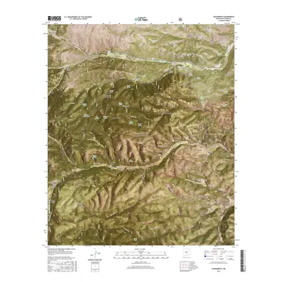
2017 Map of Sacramento
USGS Topo · Published 2017About this map
Sacramento and Mayhill anchor this high-elevation landscape within the Lincoln National Forest, where the Rio Penasco drainage defines the movement across the terrain. Located in Otero County, this 2017 study illustrates the modern interface between small mountain settlements and protected federal lands. The map traces the winding paths of state and local roads as they follow the natural contours of the Sacramento Mountains, connecting these remote outposts through a network of canyons and ridges. This modern topographic record is a vital resource for understanding the contemporary geography of the region, showing how the historic village of Sacramento remains a focal point for the surrounding canyon country.
Find a feature on this map
2 named features on this map. Tap any name to fly to it.
Don’t see what you’re looking for? This feature index may not catch every label — zoom into the map to look around manually.
Map Details
Editions of this 2017 Sacramento Map
This is the sole edition of this map. No revisions or reprints were ever made.
Other maps of this area

1952 · Cloudcroft
USGS Topo · 1:62,500

1954 · Carlsbad
USGS Topo · 1:250,000

1958 · Carlsbad
USGS Topo · 1:250,000

1963 · Mayhill
USGS Topo · 1:24,000

1963 · Woodson Canyon
USGS Topo · 1:24,000

1965 · Bear Spring
USGS Topo · 1:24,000

1965 · Avis
USGS Topo · 1:24,000

1965 · Rogers Ruins
USGS Topo · 1:24,000
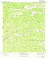
1974 · Sacramento
USGS Topo · 1:24,000
1974 · Bluff Springs
USGS Topo · 1:24,000