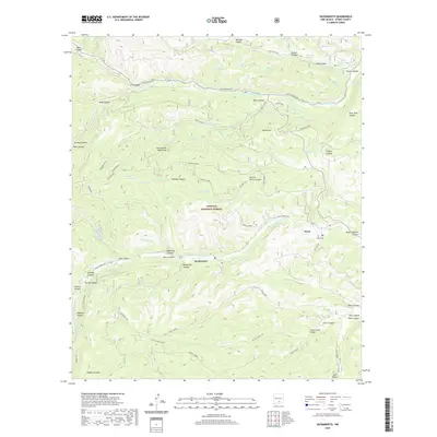
2020 Map of Sacramento
USGS Topo · Published 2020About this map
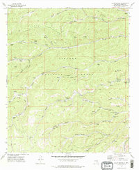
The Sacramento Mountains define the high-altitude topography of this region, which is dominated by the sprawling Lincoln National Forest. The small mountain settlements of Sacramento and Weed are the primary centers of human activity, connected by a network of forest roads like Agua Chiquita Rd and Rio Peñasco Rd. The drainage of Rio Peñasco cuts through the northern sector, supported by numerous springs and tanks such as Robinson Tank and Slough Spring. This 2020 survey documents the modern management of these timberlands, including the presence of the Weed Lookout. Genealogists and local historians will find value in the location of the Weed Cem, while the various named canyons like Charlie Harris Canyon and Rock Tank Canyon reflect the long history of ranching and naming conventions in the Otero County uplands.
Find a feature on this map
77 named features on this map. Tap any name to fly to it.
Don’t see what you’re looking for? This feature index may not catch every label — zoom into the map to look around manually.
Map Details
Editions of this 2020 Sacramento Map
This is the sole edition of this map. No revisions or reprints were ever made.
Other maps of this area
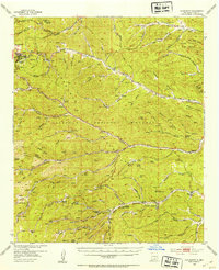
1952 · Cloudcroft
USGS Topo · 1:62,500

1954 · Carlsbad
USGS Topo · 1:250,000

1958 · Carlsbad
USGS Topo · 1:250,000
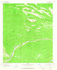
1963 · Mayhill
USGS Topo · 1:24,000
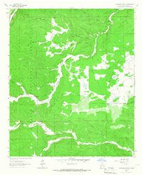
1963 · Woodson Canyon
USGS Topo · 1:24,000
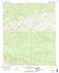
1965 · Bear Spring
USGS Topo · 1:24,000
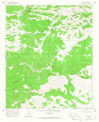
1965 · Avis
USGS Topo · 1:24,000
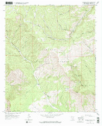
1965 · Rogers Ruins
USGS Topo · 1:24,000
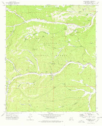
1974 · Sacramento
USGS Topo · 1:24,000
1974 · Bluff Springs
USGS Topo · 1:24,000