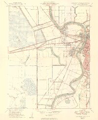
1949 Map of Sacramento West
USGS Topo · Published 1949About this map
The Sacramento River and American River confluence anchors this 1949 topographic study, revealing the complex water management infrastructure defining the Yolo Basin. The massive Yolo By-Pass dominates the western half of the map, protected by the Sacramento Weir and a network of levees designed to manage seasonal flooding. In the east, the urban expansion of Sacramento is connected to its western counterparts via the Tower Bridge and I St Bridge.
Find a feature on this map
59 named features on this map. Tap any name to fly to it.
Don’t see what you’re looking for? This feature index may not catch every label — zoom into the map to look around manually.
Map Details
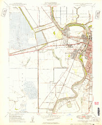
Editions of this 1949 Sacramento West Map
2 editions found
Other maps of this area

1891 · Sacramento
USGS Topo · 1:125,000

1892 · Sacramento
USGS Topo · 1:125,000

1893 · Sacramento
USGS Topo · 1:125,000

1894 · Lodi
USGS Topo · 1:125,000

1902 · Fairoaks
USGS Topo · 1:62,500

1907 · Davisville
USGS Topo · 1:62,500

1908 · Courtland
USGS Topo · 1:62,500

1909 · Florin
USGS Topo · 1:31,680

1911 · Brighton
USGS Topo · 1:31,680

1911 · Arcade
USGS Topo · 1:31,680
Featured Places
- Sacramento, CA
- West Sacramento, CA
- Mikon, West Sacramento
- Riverview, West Sacramento
- Lovdal, West Sacramento