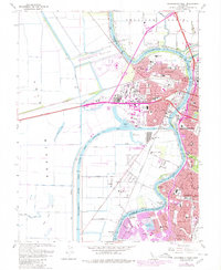
1967 Map of Sacramento West
USGS Topo · Published 1980About this map
The Sacramento River and the newly engineered Sacramento Deep Water Ship Channel define the industrial and transit landscape of the late 1960s in this area. West of the river, the growing communities of Broderick, Bryte, and West Sacramento are shown during a period of significant expansion, with residential growth extending south toward Riverview. The Port of Sacramento stands as a massive industrial landmark at the head of the ship channel, while the massive Yolo Bypass and Sacramento Bypass Wildlife Area dominate the western terrain, highlighting the region's historical reliance on large-scale flood control systems.
Find a feature on this map
72 named features on this map. Tap any name to fly to it.
Don’t see what you’re looking for? This feature index may not catch every label — zoom into the map to look around manually.
Map Details
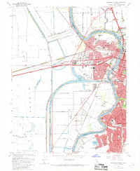
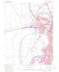
Editions of this 1967 Sacramento West Map
3 editions found
Other maps of this area

1891 · Sacramento
USGS Topo · 1:125,000

1892 · Sacramento
USGS Topo · 1:125,000

1893 · Sacramento
USGS Topo · 1:125,000

1894 · Lodi
USGS Topo · 1:125,000

1902 · Fairoaks
USGS Topo · 1:62,500

1907 · Davisville
USGS Topo · 1:62,500

1908 · Courtland
USGS Topo · 1:62,500

1909 · Florin
USGS Topo · 1:31,680

1911 · Brighton
USGS Topo · 1:31,680

1911 · Arcade
USGS Topo · 1:31,680
Featured Places
- Sacramento, CA
- West Sacramento, CA
- Mikon, West Sacramento
- Riverview, West Sacramento
- Lovdal, West Sacramento