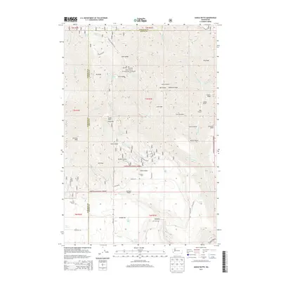
2013 Map of Saddle Butte
USGS Topo · Published 2013About this map
Umatilla National Forest encompasses the majority of this landscape, where the Garfield and Asotin county line bisects high ridges and deep canyons. The southern portion of the sheet transitions into more open ground at Grouse Flat, a plateau punctuated by the Cecil Slaybaugh and Sunbeam Ranch properties. This area was historically shaped by ranching and timber, evidenced by the network of Forest Service roads like NFD 4038 Rd and Pomeroy Grouse Flat Rd that provide access to the high backcountry.
Find a feature on this map
65 named features on this map. Tap any name to fly to it.
Don’t see what you’re looking for? This feature index may not catch every label — zoom into the map to look around manually.
Map Details
Editions of this 2013 Saddle Butte Map
This is the sole edition of this map. No revisions or reprints were ever made.
Other maps of this area

1937 · Pomeroy
USGS Topo · 1:96,000

1942 · Pomeroy
USGS Topo · 1:125,000

1943 · Saddle Butte
USGS Topo · 1:62,500

1946 · Saddle Butte
USGS Topo · 1:62,500

1955 · Pullman
USGS Topo · 1:250,000

1955 · Grangeville
USGS Topo · 1:250,000

1958 · Pullman
USGS Topo · 1:250,000

1959 · Grangeville
USGS Topo · 1:250,000

1967 · Troy
USGS Topo · 1:24,000

1967 · Eden
USGS Topo · 1:24,000