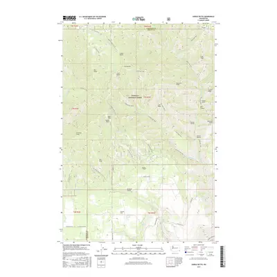
2017 Map of Saddle Butte
USGS Topo · Published 2017About this map
The Umatilla National Forest forms the backdrop for this survey along the border of Garfield and Asotin Counties. This landscape is defined by a dense network of ridges and canyons, where the namesake Saddle Butte rises near Mt Horrible and Monument Ridge. The terrain is deeply carved by drainage systems like James Canyon and Go Devil Canyon, while water sources such as Despain Spring and Bucket Spring dot the high country.
Find a feature on this map
69 named features on this map. Tap any name to fly to it.
Don’t see what you’re looking for? This feature index may not catch every label — zoom into the map to look around manually.
Map Details
Editions of this 2017 Saddle Butte Map
This is the sole edition of this map. No revisions or reprints were ever made.
Other maps of this area

1937 · Pomeroy
USGS Topo · 1:96,000

1942 · Pomeroy
USGS Topo · 1:125,000

1943 · Saddle Butte
USGS Topo · 1:62,500

1946 · Saddle Butte
USGS Topo · 1:62,500

1955 · Pullman
USGS Topo · 1:250,000

1955 · Grangeville
USGS Topo · 1:250,000

1958 · Pullman
USGS Topo · 1:250,000

1959 · Grangeville
USGS Topo · 1:250,000

1967 · Troy
USGS Topo · 1:24,000

1967 · Eden
USGS Topo · 1:24,000