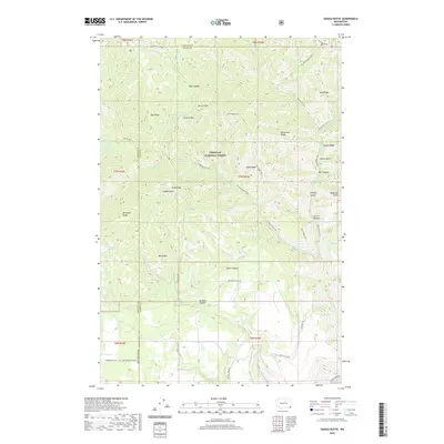
2020 Map of Saddle Butte
USGS Topo · Published 2020About this map
Umatilla National Forest dominates the high-elevation terrain of Asotin and Garfield Counties in this modern topographical study. The landscape is defined by a series of prominent finger ridges, including Ray Ridge, Coyote Ridge, and Monument Ridge, which are separated by steep drainages like Coyote Gulch and Go Devil Canyon. The map reveals a complex network of historic and modern routes through the forest, such as the Wenatchee Trail and Lake Ridge Trail, which follow the natural contours of the land. Water sources are critical landmarks in this environment, with numerous springs such as Misery Spring, Saddle Spring, and Hunt Spring providing vital points of reference. The presence of Tule Lake and named peaks like Saddle Butte and Mt Horrible illustrates the varied and challenging topography of the Blue Mountains region, highlighting the area's use for forestry and recreation.
Find a feature on this map
101 named features on this map. Tap any name to fly to it.
Don’t see what you’re looking for? This feature index may not catch every label — zoom into the map to look around manually.
Map Details
Editions of this 2020 Saddle Butte Map
This is the sole edition of this map. No revisions or reprints were ever made.
Other maps of this area

1937 · Pomeroy
USGS Topo · 1:96,000

1942 · Pomeroy
USGS Topo · 1:125,000

1943 · Saddle Butte
USGS Topo · 1:62,500

1946 · Saddle Butte
USGS Topo · 1:62,500

1955 · Pullman
USGS Topo · 1:250,000

1955 · Grangeville
USGS Topo · 1:250,000

1958 · Pullman
USGS Topo · 1:250,000

1959 · Grangeville
USGS Topo · 1:250,000

1967 · Troy
USGS Topo · 1:24,000

1967 · Eden
USGS Topo · 1:24,000