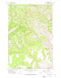
1971 Map of Saddle Butte
USGS Topo · Published 1974About this map
Umatilla National Forest occupies this high-elevation corner of the Pacific Northwest, where the state lines of Washington Oregon and the boundaries of Garfield Co Asotin Co converge. The landscape is defined by deep drainage systems like Menatchee Creek and Grouse Flat Creek, which carve between prominent landforms such as Saddle Butte and the curiously named Mt Horrible. Human presence is marked by isolated infrastructure, including the Wenatchee Guard Station and the Saddle Spring Guard Station, alongside recreational sites like Misery Spring Campground.
Find a feature on this map
52 named features on this map. Tap any name to fly to it.
Don’t see what you’re looking for? This feature index may not catch every label — zoom into the map to look around manually.
Map Details
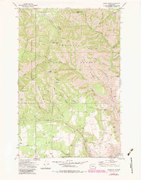
Editions of this 1971 Saddle Butte Map
2 editions found
Other maps of this area

1937 · Pomeroy
USGS Topo · 1:96,000

1942 · Pomeroy
USGS Topo · 1:125,000

1943 · Saddle Butte
USGS Topo · 1:62,500

1946 · Saddle Butte
USGS Topo · 1:62,500

1955 · Pullman
USGS Topo · 1:250,000

1955 · Grangeville
USGS Topo · 1:250,000

1958 · Pullman
USGS Topo · 1:250,000

1959 · Grangeville
USGS Topo · 1:250,000

1967 · Troy
USGS Topo · 1:24,000

1967 · Eden
USGS Topo · 1:24,000