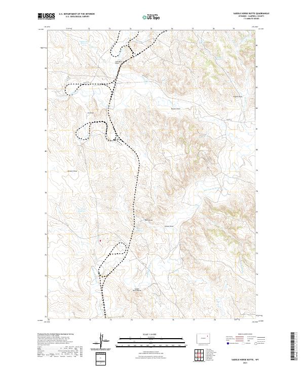
2021 Map of Saddle Horse Butte
USGS Topo · Published 2021About this map
Saddle Horse Butte anchors a high-plains landscape defined by an intricate network of intermittent watercourses and stock reservoirs. The upper reaches of the Belle Fourche River meander through the southern half of the quadrangle, joined by tributaries such as Dry Cr and Deer Cr. The prevalence of man-made water features like Tisdale Stock Reservoir, Hill Reservoir, and Enyard Reservoir reflects the vital importance of water management for livestock in the arid Campbell County rangelands.
Find a feature on this map
30 named features on this map. Tap any name to fly to it.
Don’t see what you’re looking for? This feature index may not catch every label — zoom into the map to look around manually.
Map Details
Editions of this 2021 Saddle Horse Butte Map
This is the sole edition of this map. No revisions or reprints were ever made.
Other maps of this area

1954 · Gillette
USGS Topo · 1:250,000

1955 · Newcastle
USGS Topo · 1:250,000

1955 · Gillette
USGS Topo · 1:250,000

1958 · Gillette
USGS Topo · 1:250,000

1958 · Newcastle
USGS Topo · 1:250,000

1962 · Gillette
USGS Topo · 1:250,000

1971 · Coyote Draw
USGS Topo · 1:24,000

1971 · Coon Track Creek
USGS Topo · 1:24,000

1971 · The Gap SW
USGS Topo · 1:24,000

1971 · Whitetail Creek
USGS Topo · 1:24,000