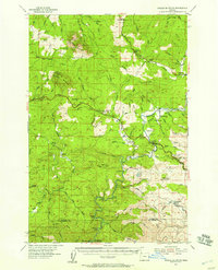
1955 Map of Saddle Mountain
USGS Topo · Published 1957About this map
The Nehalem River winds through the forested landscape of Clatsop County, anchoring a series of small riverside communities and junctions during the mid-1950s. The village of Jewell and the nearby Jewell Junc serve as local hubs, while Elsie and Vinemaple mark the intersection of river life and mountain transit. A significant Logging Railroad snakes through the southern portion of the quadrangle near the Salmonberry River, illustrating the era's active timber economy.
Find a feature on this map
84 named features on this map. Tap any name to fly to it.
Don’t see what you’re looking for? This feature index may not catch every label — zoom into the map to look around manually.
Map Details
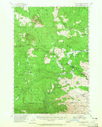
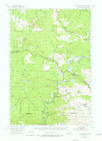
Editions of this 1955 Saddle Mountain Map
3 editions found
Other maps of this area

1919 · Astoria
USGS Topo · 1:62,500

1937 · Nehalem
USGS Topo · 1:62,500

1937 · Enright
USGS Topo · 1:62,500

1939 · Astoria
USGS Topo · 1:62,500

1939 · Saddle Mountain
USGS Topo · 1:62,500

1940 · Svensen
USGS Topo · 1:62,500

1940 · Cape Falcon
USGS Topo · 1:62,500

1941 · Keasey
USGS Topo · 1:62,500

1941 · Timber
USGS Topo · 1:62,500

1941 · Enright
USGS Topo · 1:62,500