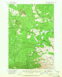
1955 Map of Saddle Mountain
USGS Topo · Published 1965About this map
Saddle Mountain and the surrounding coastal ranges of Northwest Oregon appear here during the mid-1950s, a period defined by the industrial timber economy. The landscape is marked by an extensive Logging Railroad network and numerous forest service installations like the Salmonberry Guard Station and the Forest Service Side Camp. Small rural communities such as Jewell, Elsie, and Vinemaple are connected by the Sunset Highway, which cuts through the mountainous terrain. Local life is centered around institutions like the Hamlet Grange and Sunny Hill Cemetery, while the preservation of the landscape is seen in the early boundaries of Saddle Mountain State Park and David Douglas State Park. The map captures a transition where the timber-rich hillsides are deeply etched with fire lookouts and trails, including the Tidewater Summit and the remote outpost of Camp Olson near the Clatsop and Tillamook county line.
Find a feature on this map
80 named features on this map. Tap any name to fly to it.
Don’t see what you’re looking for? This feature index may not catch every label — zoom into the map to look around manually.
Map Details
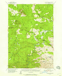
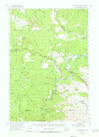
Editions of this 1955 Saddle Mountain Map
3 editions found
Other maps of this area

1919 · Astoria
USGS Topo · 1:62,500

1937 · Nehalem
USGS Topo · 1:62,500

1937 · Enright
USGS Topo · 1:62,500

1939 · Astoria
USGS Topo · 1:62,500

1939 · Saddle Mountain
USGS Topo · 1:62,500

1940 · Svensen
USGS Topo · 1:62,500

1940 · Cape Falcon
USGS Topo · 1:62,500

1941 · Keasey
USGS Topo · 1:62,500

1941 · Timber
USGS Topo · 1:62,500

1941 · Enright
USGS Topo · 1:62,500