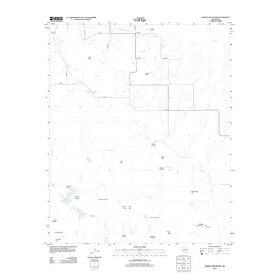
2012 Map of Saddle Mountain
USGS Topo · Published 2012About this map
Blue Mtn and Saddle Mtn anchor this part of the Wichita Mountains northwest of Lawton, where the Oklahoma landscape transitions from high peaks to wide alluvial flats. The 2012 survey illustrates a terrain defined by dramatic ridges and narrow passes, such as Elk Pass and Turkey Pass, which have long dictated movement through this region. For the family historian, the Saddle Mtn Cem in the north and the presence of numerous named springs like Harrington Spring and Hourigan Spring provide valuable locational markers. Water remains a central theme across this arid stretch, from the drainage of Medicine Cr and W Cache Cr to established landmarks like Comanche Lake and Grama Lake. The map also captures the sprawling road network of section lines, including e1480 RD, which cut through the broad expanses of Grama Flat and Antelope Flat.
Find a feature on this map
51 named features on this map. Tap any name to fly to it.
Don’t see what you’re looking for? This feature index may not catch every label — zoom into the map to look around manually.
Map Details
Editions of this 2012 Saddle Mountain Map
This is the sole edition of this map. No revisions or reprints were ever made.
Other maps of this area

1937 · Cache
USGS Topo · 1:48,000

1937 · Quanah Mountain
USGS Topo · 1:24,000

1942 · Cache
USGS Topo · 1:62,500

1949 · Mount Scott
USGS Topo · 1:24,000

1949 · Cooperton
USGS Topo · 1:62,500

1949 · Quanah Mountain
USGS Topo · 1:24,000

1950 · Snyder
USGS Topo · 1:62,500

1950 · Saddle Mountain
USGS Topo · 1:62,500

1955 · Lawton
USGS Topo · 1:250,000

1956 · Saddle Mountain
USGS Topo · 1:24,000