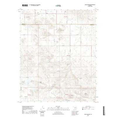
2018 Map of Saddle Mountain
USGS Topo · Published 2018About this map
Saddle Mountain rises as a prominent landmark along the border of Kiowa and Comanche counties, anchoring a landscape defined by the eastern reaches of the Wichita Mountains. This modern topographic survey reveals a rugged interior of Oklahoma characterized by numerous named peaks and ridges, including Whistle Peak, Moko Mtn, and the distinctive Geronimo Ridge. Water sources are critical in this terrain, as evidenced by Harrington Spring, Black Bear Spring, and the Medicine Tank catchment. The map tracks the passage of Medicine Cr and W Cache Cr as they weave through valleys like Winter Valley and Moose Canyon. Human impact on the land is represented by established routes such as State HWY 115 SCN and the quiet presence of Saddle Mountain Cem to the north. At the southern edge, Mt Lauramac and the waters of Kiowa Lake mark the transition toward the open expanses of Antelope Flat and Graham Flat.
Find a feature on this map
58 named features on this map. Tap any name to fly to it.
Don’t see what you’re looking for? This feature index may not catch every label — zoom into the map to look around manually.
Map Details
Editions of this 2018 Saddle Mountain Map
This is the sole edition of this map. No revisions or reprints were ever made.
Other maps of this area

1937 · Cache
USGS Topo · 1:48,000

1937 · Quanah Mountain
USGS Topo · 1:24,000

1942 · Cache
USGS Topo · 1:62,500

1949 · Mount Scott
USGS Topo · 1:24,000

1949 · Cooperton
USGS Topo · 1:62,500

1949 · Quanah Mountain
USGS Topo · 1:24,000

1950 · Snyder
USGS Topo · 1:62,500

1950 · Saddle Mountain
USGS Topo · 1:62,500

1955 · Lawton
USGS Topo · 1:250,000

1956 · Saddle Mountain
USGS Topo · 1:24,000