
1968 Map of Saddlebunch Keys
USGS Topo · Published 1968About this map
Sugarloaf Key and the surrounding archipelagos of Saddlebunch Keys dominate this maritime survey of Monroe County. Compiled from 1943 air photographs and planetable topography, the map focuses on the complex mangrove coastlines and shallow flats separating Lower Sugarloaf Sound from the open sea. A single primary road connects these low-lying islands, passing by Sugarloaf Beach and landmarks such as Wells Key and Pirates Cove Bn 7.
Find a feature on this map
24 named features on this map. Tap any name to fly to it.
Don’t see what you’re looking for? This feature index may not catch every label — zoom into the map to look around manually.
Map Details
Editions of this 1968 Saddlebunch Keys Map
This is the sole edition of this map. No revisions or reprints were ever made.
Other maps of this area

1921 · Sugar Loaf Key
USGS Topo · 1:62,500

1943 · Saddlebunch Keys
USGS Topo · 1:24,000

1943 · Boca Chica
USGS Topo · 1:24,000

1943 · Snipe Keys
USGS Topo · 1:24,000

1943 · Sugarloaf Key
USGS Topo · 1:24,000
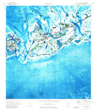
1971 · Boca Chica Key
USGS Topo · 1:24,000

1972 · Loggerhead Key
USGS Topo · 1:24,000
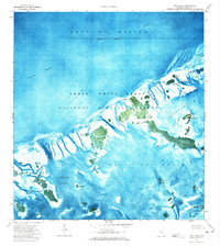
1972 · Snipe Keys
USGS Topo · 1:24,000
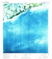
1972 · Saddlebunch Keys
USGS Topo · 1:24,000

1972 · Summerland Key
USGS Topo · 1:24,000