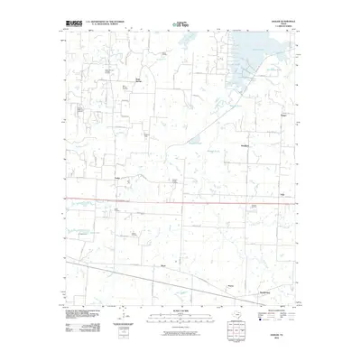
2010 Map of Sadler
USGS Topo · Published 2010About this map
Sadler and Southmayd anchor this survey of Grayson County, where the terrestrial landscape meets the southern reaches of Lake Texoma. The map reveals a region defined by its energy production and small-town infrastructure, with several active petroleum sites including the Sadler-Moulder Mineral Oil Field, Hudgins Oil Field, and Graham Field dotting the terrain. These mineral interests are interspersed with long-standing community landmarks such as Sadler Cemetery and the Christian Chapel Cemetery, providing essential coordinates for genealogical research in north Texas.
Find a feature on this map
74 named features on this map. Tap any name to fly to it.
Don’t see what you’re looking for? This feature index may not catch every label — zoom into the map to look around manually.
Map Details
Editions of this 2010 Sadler Map
This is the sole edition of this map. No revisions or reprints were ever made.
Other maps of this area
1901 · Denison
USGS Topo · 1:125,000

1954 · Sherman
USGS Topo · 1:250,000
1958 · Dorchester
USGS Topo · 1:24,000
1958 · Gordonville
USGS Topo · 1:62,500
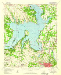
1958 · Denison Dam
USGS Topo · 1:62,500
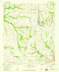
1958 · Sherman NW
USGS Topo · 1:24,000
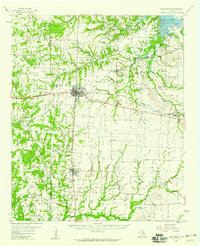
1958 · Whitesboro
USGS Topo · 1:62,500

1958 · Sherman
USGS Topo · 1:250,000
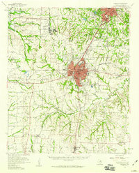
1958 · Sherman
USGS Topo · 1:62,500
1976 · Gordonville SE
USGS Topo · 1:24,000