2022 Map of Sadler
USGS Topo · Published 2022About this map
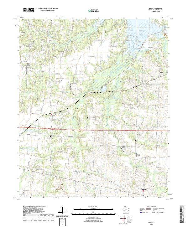
Sadler and Southmayd anchor this Grayson County landscape, where the northern reaches are dominated by the extensive waters of Lake Texoma. The map reveals a complex aquatic environment at the Big Mineral Arm, characterized by numerous inlets and small water bodies such as Old Goose Pond, Taylor Pond, and Deaver Pond. This area is defined by its transition from the agricultural uplands down to the lake shore, with several small landing strips including Margaritaville Airport and Graham Field dotting the terrain.
Find a feature on this map
100 named features on this map. Tap any name to fly to it.
Don’t see what you’re looking for? This feature index may not catch every label — zoom into the map to look around manually.
Map Details
Editions of this 2022 Sadler Map
This is the sole edition of this map. No revisions or reprints were ever made.