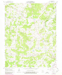
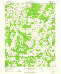
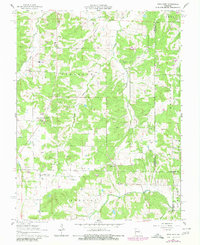
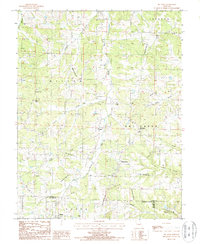
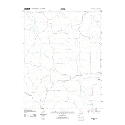
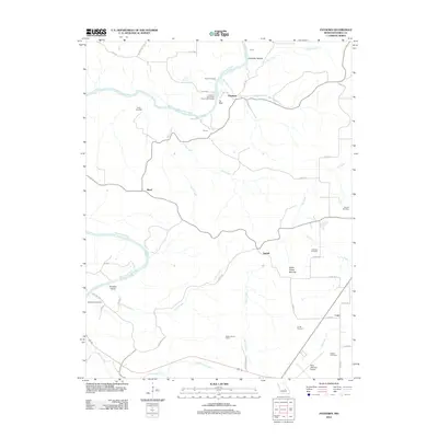
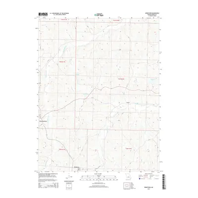
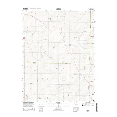
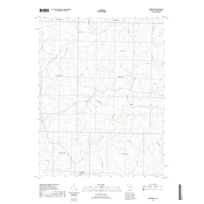
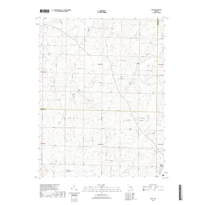
1962 Map of Safe
USGS Topo · Published 1980About this map
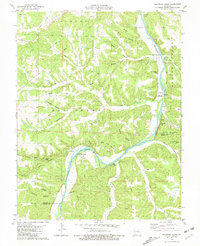
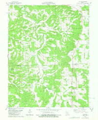
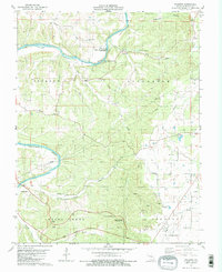
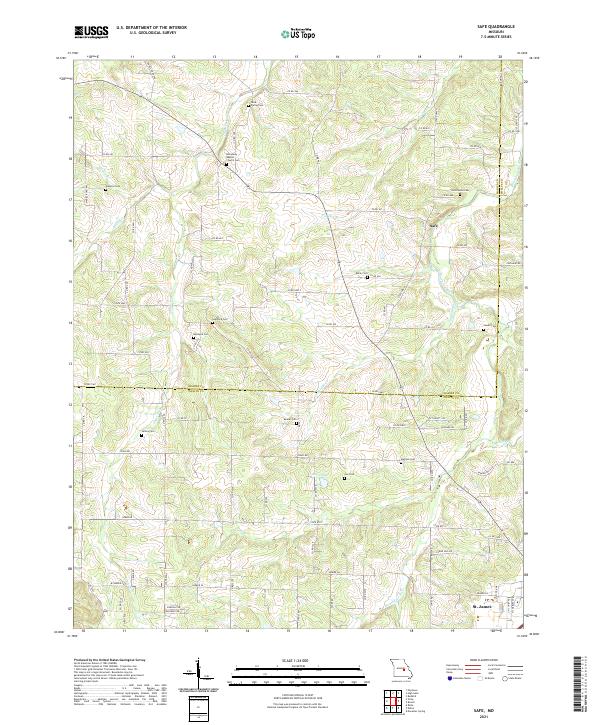
The Bourbeuse River carves a winding path across this portion of the Ozark Plateau, where the boundary between Maries Co and Phelps Co meets. The landscape is characterized by a high density of rural cemeteries and localized extractive industry, evidenced by numerous Claypit sites scattered throughout the terrain. Small rural communities like Safe and Light serve as local anchors, while spiritual and educational life is represented by Broadway Ch and the Lacy Sch.
Find a feature on this map
30 named features on this map. Tap any name to fly to it.
Don’t see what you’re looking for? This feature index may not catch every label — zoom into the map to look around manually.
Map Details
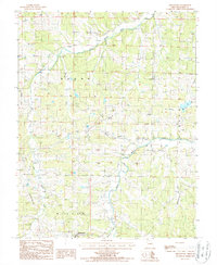
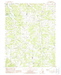
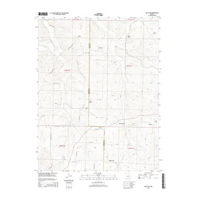
Editions of this 1962 Safe Map
2 editions found
Historical Maps of St. James Through Time
42 maps found
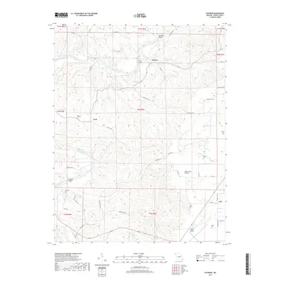
1948 Tavern
Maries County, MO
1950 Tavern
Maries County, MO
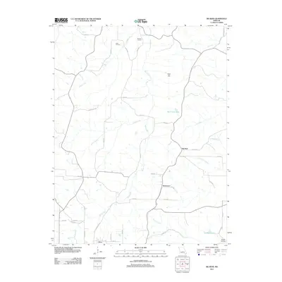
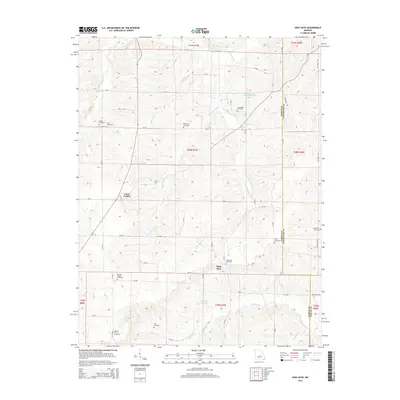
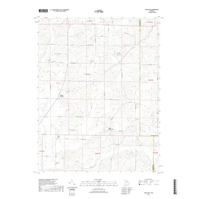
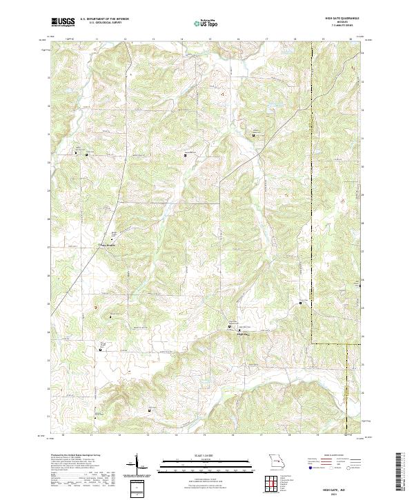
1962 High Gate
Maries County, MO
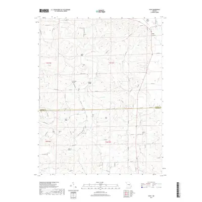
1962 Safe
Maries County, MO
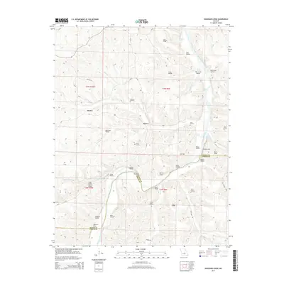
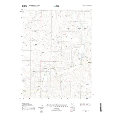
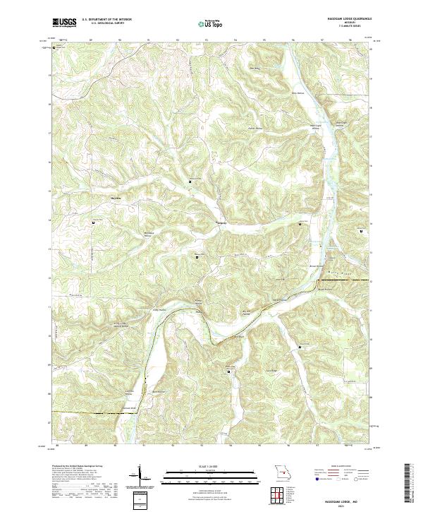
1980 Nagogami Lodge
Maries County, MO
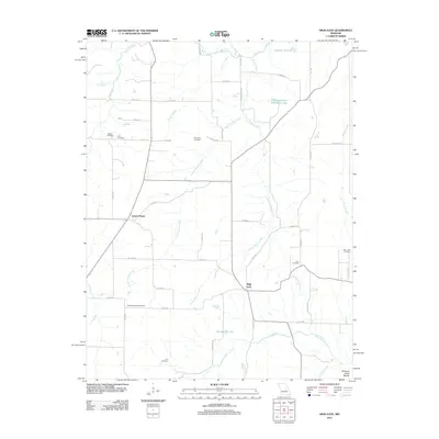
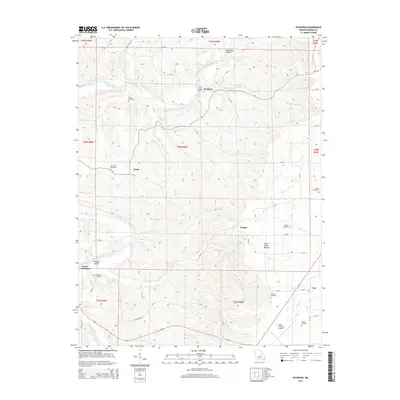
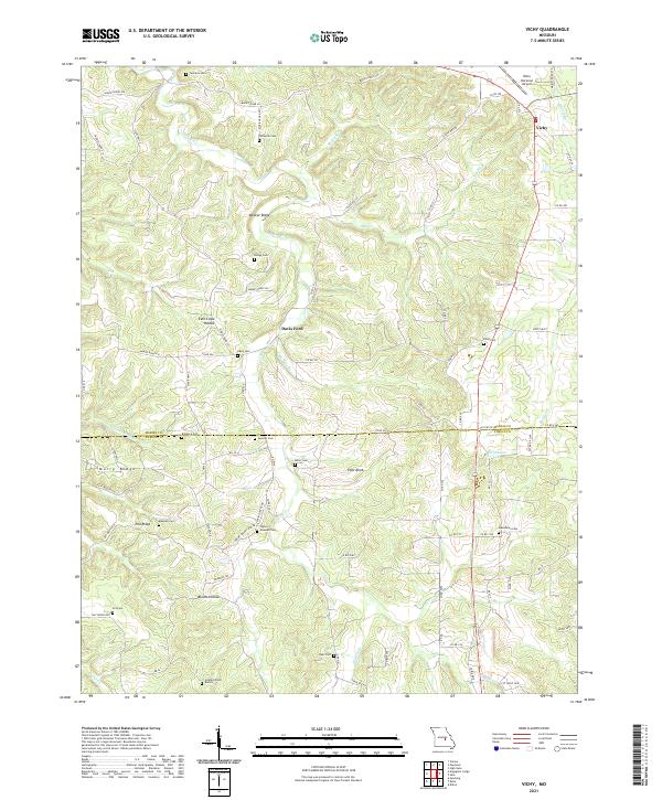
1980 Vichy
Maries County, MO
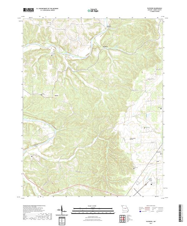
1981 Paydown
Maries County, MO
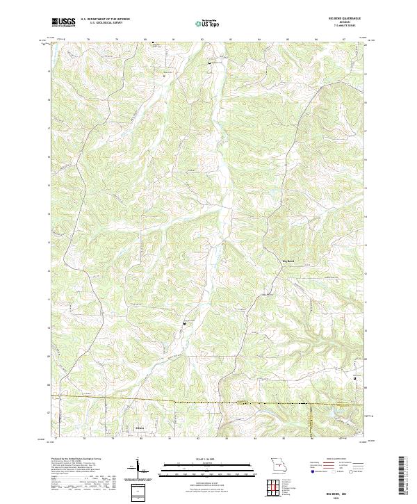
1987 Big Bend
Maries County, MO
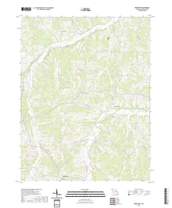
1987 Brinktown
Maries County, MO
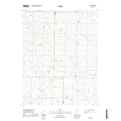
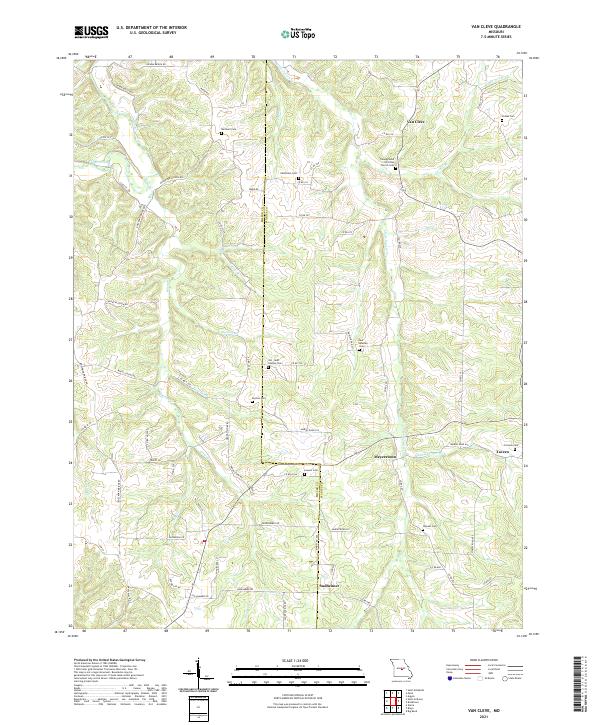
1987 Van Cleve
Maries County, MO
2011 Brinktown
Maries County, MO
2011 Van Cleve
Maries County, MO
2012 Big Bend
Maries County, MO
2012 High Gate
Maries County, MO
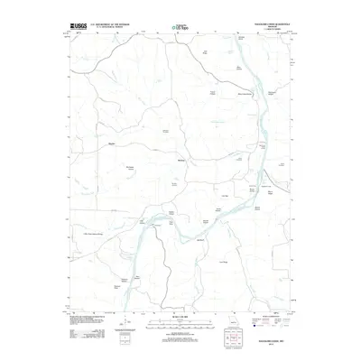
2012 Nagogami Lodge
Maries County, MO
2012 Paydown
Maries County, MO
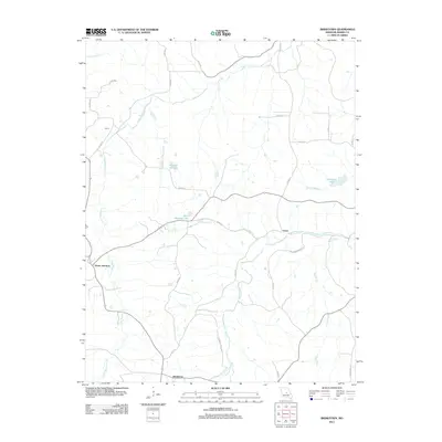
2012 Safe
Maries County, MO
2012 Vichy
Maries County, MO
2015 Big Bend
Maries County, MO
2015 Brinktown
Maries County, MO
2015 High Gate
Maries County, MO
2015 Nagogami Lodge
Maries County, MO
2015 Paydown
Maries County, MO
2015 Safe
Maries County, MO
2015 Van Cleve
Maries County, MO
2015 Vichy
Maries County, MO
2017 Big Bend
Maries County, MO
2017 Brinktown
Maries County, MO
2017 High Gate
Maries County, MO
2017 Nagogami Lodge
Maries County, MO
2017 Paydown
Maries County, MO
2017 Safe
Maries County, MO
2017 Van Cleve
Maries County, MO
2017 Vichy
Maries County, MO
2021 Big Bend
Maries County, MO
2021 Brinktown
Maries County, MO
2021 High Gate
Maries County, MO
2021 Nagogami Lodge
Maries County, MO
2021 Paydown
Maries County, MO
2021 Safe
Maries County, MO
2021 Van Cleve
Maries County, MO
2021 Vichy
Maries County, MO