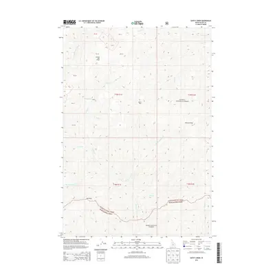
2013 Map of Safety Creek
USGS Topo · Published 2013About this map
Lookout Mtn Ridge and Shellrock Ridge define the high country of Valley County in this remote portion of central Idaho. The landscape is characterized by a complex network of drainages including Marble Creek, Safety Creek, and Little Cottonwood Creek that carve through the timbered terrain. This 2013 survey identifies Belleco, a isolated settlement located near the confluence of Sunnyside Creek and Marble Creek, providing a rare point of human habitation in a region largely managed as protected wilderness. The map documents the boundary between the Payette National Forest and Boise National Forest, illustrating how these federal lands intersect along the high divides of Red Ridge and surrounding peaks like Black Pole. Local landmarks such as Telephone Creek and Cornish Creek mark the historical trail and water routes used for backcountry access.
Find a feature on this map
26 named features on this map. Tap any name to fly to it.
Don’t see what you’re looking for? This feature index may not catch every label — zoom into the map to look around manually.
Map Details
Editions of this 2013 Safety Creek Map
This is the sole edition of this map. No revisions or reprints were ever made.
Other maps of this area

1930 · Casto
USGS Topo · 1:125,000

1956 · Elk City
USGS Topo · 1:250,000

1957 · Challis
USGS Topo · 1:250,000

1960 · Elk City
USGS Topo · 1:250,000

1960 · Challis
USGS Topo · 1:250,000

1962 · Mormon Mtn
USGS Topo · 1:24,000

1962 · Norton Ridge
USGS Topo · 1:24,000

1962 · Shellrock Peak
USGS Topo · 1:24,000

1963 · Challis
USGS Topo · 1:250,000

1973 · Center Mtn
USGS Topo · 1:24,000