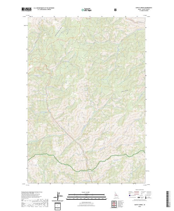
2024 Map of Safety Creek
USGS Topo · Published 2024About this map
Frank Church-River of No Return Wilderness and its high ridgelines dominate this portion of the Idaho backcountry. The landscape is defined by deep drainage networks where Marble Creek and its namesake Marble Creek Trl cut through the central terrain. Boundary lines converge here between the Payette National Forest and Boise National Forest, illustrating the vast protected interior of Valley County.
Find a feature on this map
32 named features on this map. Tap any name to fly to it.
Don’t see what you’re looking for? This feature index may not catch every label — zoom into the map to look around manually.
Map Details
Editions of this 2024 Safety Creek Map
This is the sole edition of this map. No revisions or reprints were ever made.
Other maps of this area

1930 · Casto
USGS Topo · 1:125,000

1956 · Elk City
USGS Topo · 1:250,000

1957 · Challis
USGS Topo · 1:250,000

1960 · Elk City
USGS Topo · 1:250,000

1960 · Challis
USGS Topo · 1:250,000

1962 · Mormon Mtn
USGS Topo · 1:24,000

1962 · Norton Ridge
USGS Topo · 1:24,000

1962 · Shellrock Peak
USGS Topo · 1:24,000

1963 · Challis
USGS Topo · 1:250,000

1973 · Center Mtn
USGS Topo · 1:24,000