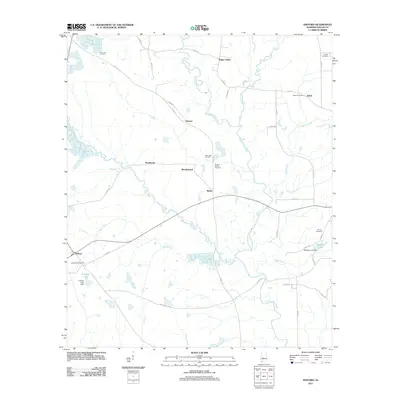
2011 Map of Safford
USGS Topo · Published 2011About this map
Bogue Chitto Creek and its many tributaries, including Caine Creek and Bear Creek, define the drainage patterns of this Dallas County landscape. In the early 21st century, the area remains characterized by rural crossroads and small communities such as Safford, Eleanor, and Bogue Chitto. The presence of the Safford Post Office and several family or community burial grounds, such as Martins Station Cemetery and New Hope Cemetery, provides significant data points for local genealogists and historians. The terrain is marked by numerous small water bodies and man-made structures like the McHugh Lake Dam and E Ables Lake Dam. A dense network of county roads, such as Co RD-21 and Co RD-113, connects these disparate settlements, tracing the movement of residents across this agricultural and creek-bisected region.
Find a feature on this map
48 named features on this map. Tap any name to fly to it.
Don’t see what you’re looking for? This feature index may not catch every label — zoom into the map to look around manually.
Map Details
Editions of this 2011 Safford Map
This is the sole edition of this map. No revisions or reprints were ever made.
Other maps of this area

1953 · Montgomery
USGS Topo · 1:250,000

1956 · Montgomery
USGS Topo · 1:250,000

1957 · Montgomery
USGS Topo · 1:250,000

1957 · Carlowville
USGS Topo · 1:62,500

1958 · Selma
USGS Topo · 1:62,500

1968 · Uniontown East
USGS Topo · 1:24,000

1968 · Browns
USGS Topo · 1:24,000

1968 · Safford
USGS Topo · 1:24,000

1968 · Central Mills
USGS Topo · 1:24,000

1974 · Crumptonia
USGS Topo · 1:24,000