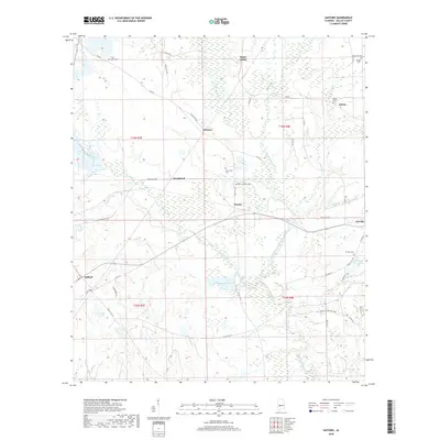
2018 Map of Safford
USGS Topo · Published 2018About this map
Bogue Chitto Creek and Bear Creek wind through this Dallas County landscape, defining the drainage patterns of an area marked by small communities and rural cemeteries. The map centers on the transition from the settlement at Eleanor down toward the southern crossroads of Safford. This region is characterized by its agricultural character and extensive wetland systems along Chaney Creek and Caine Cr.
Find a feature on this map
55 named features on this map. Tap any name to fly to it.
Don’t see what you’re looking for? This feature index may not catch every label — zoom into the map to look around manually.
Map Details
Editions of this 2018 Safford Map
This is the sole edition of this map. No revisions or reprints were ever made.
Other maps of this area

1953 · Montgomery
USGS Topo · 1:250,000

1956 · Montgomery
USGS Topo · 1:250,000

1957 · Montgomery
USGS Topo · 1:250,000

1957 · Carlowville
USGS Topo · 1:62,500

1958 · Selma
USGS Topo · 1:62,500

1968 · Uniontown East
USGS Topo · 1:24,000

1968 · Browns
USGS Topo · 1:24,000

1968 · Safford
USGS Topo · 1:24,000

1968 · Central Mills
USGS Topo · 1:24,000

1974 · Crumptonia
USGS Topo · 1:24,000