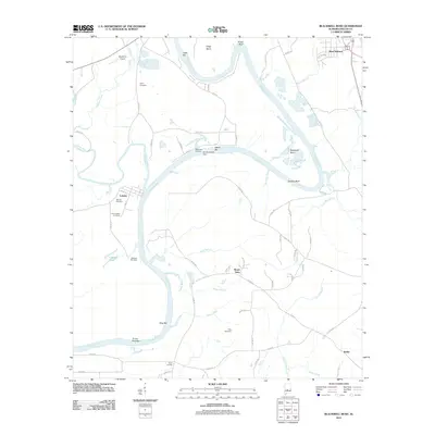
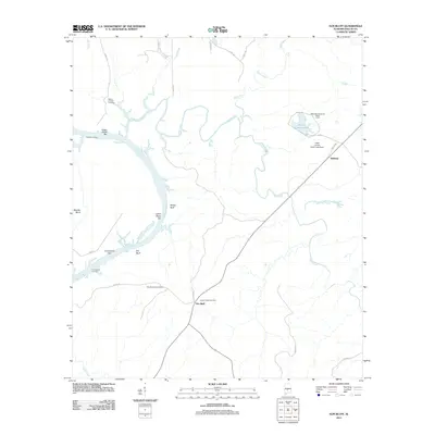
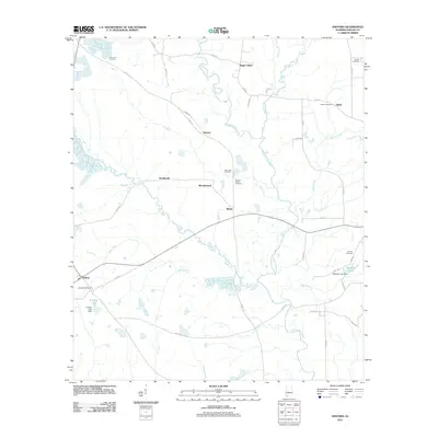
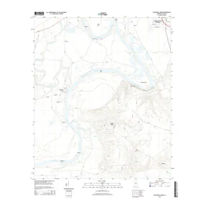
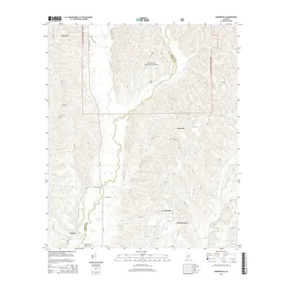
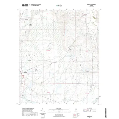
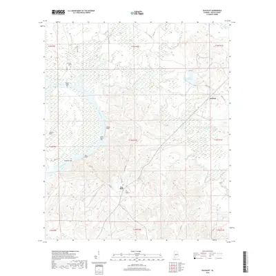
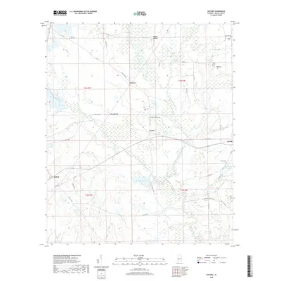
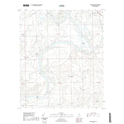
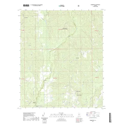
2024 Map of Safford
USGS Topo · Published 2024About this map
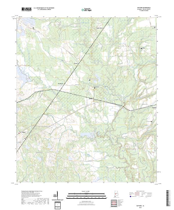
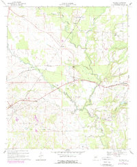
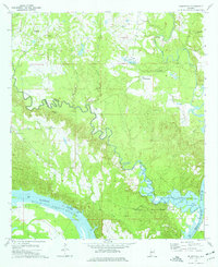
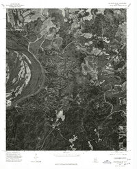
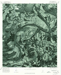
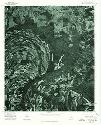
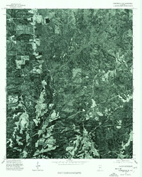
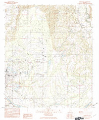
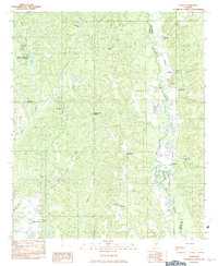
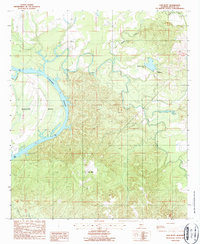
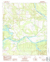
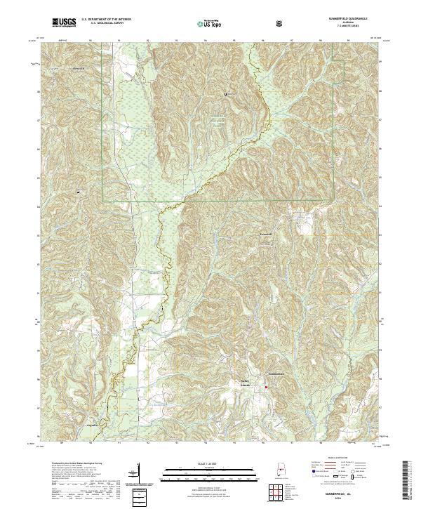
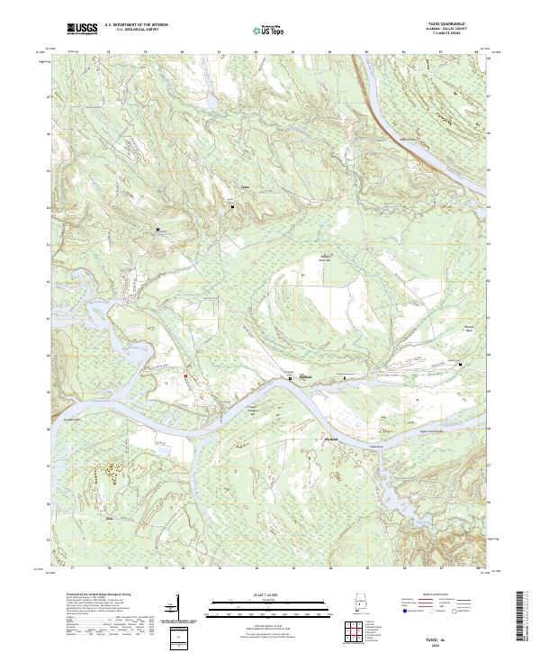
Bogue Chitto and Orrville anchor this survey of Dallas County, where the landscape is defined by the winding course of Bogue Chitto Creek and its many tributaries. The map details a rural network of small communities such as Eleanor, Westbrook, and Martin, linked by a dense web of county roads including Dallas Co 355 and Co Rd 29. This area of central Alabama maintains its agricultural character, evidenced by the numerous cemeteries that serve as vital markers for local genealogy.
Find a feature on this map
56 named features on this map. Tap any name to fly to it.
Don’t see what you’re looking for? This feature index may not catch every label — zoom into the map to look around manually.
Map Details
Editions of this 2024 Safford Map
This is the sole edition of this map. No revisions or reprints were ever made.
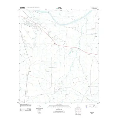
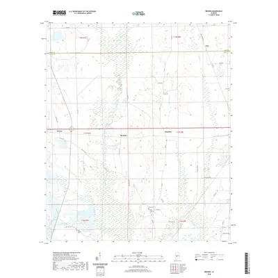
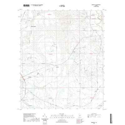
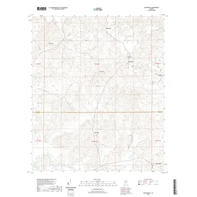
Historical Maps of Orrville Through Time
95 maps found
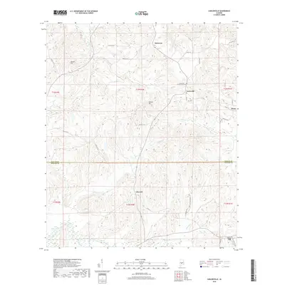
1957 Carlowville
Dallas County, AL
1968 Browns
Dallas County, AL
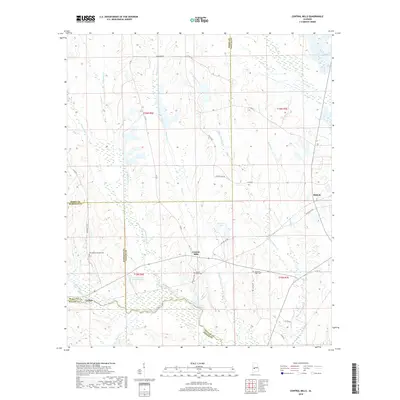
1968 Central Mills
Dallas County, AL
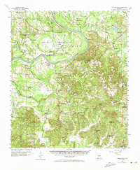
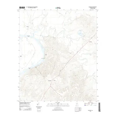
1968 Safford
Dallas County, AL
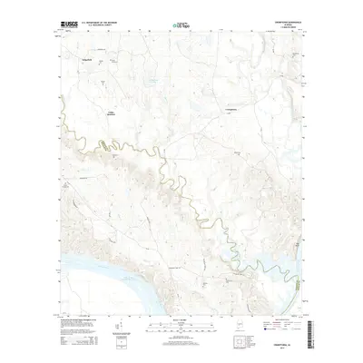
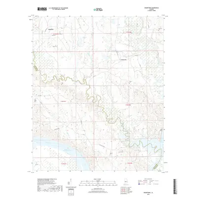
1974 Crumptonia
Dallas County, AL
1975 Benton NW
Dallas County, AL
1975 Benton SW
Dallas County, AL
1975 Carlowville NE
Dallas County, AL
1975 Carlowville NW
Dallas County, AL
1975 Plantersville SW
Dallas County, AL
1975 Selma NW
Dallas County, AL
1975 Selma SE
Dallas County, AL
1975 Selma SW
Dallas County, AL
1975 Summerfield SE
Dallas County, AL
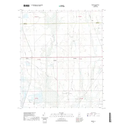
1982 Burnsville
Dallas County, AL
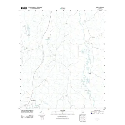
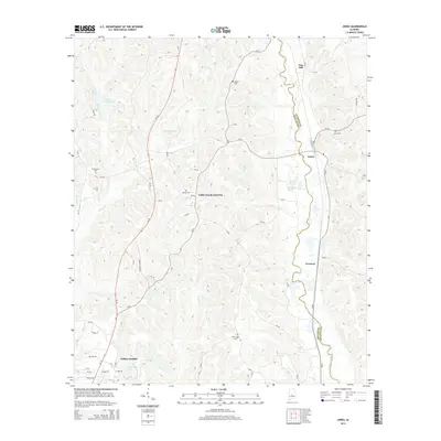
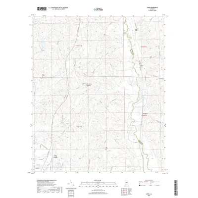
1982 Jones
Dallas County, AL
1982 Sardis
Dallas County, AL
1987 Blackwell Bend
Dallas County, AL
1987 Carlowville
Dallas County, AL
1987 Elm Bluff
Dallas County, AL
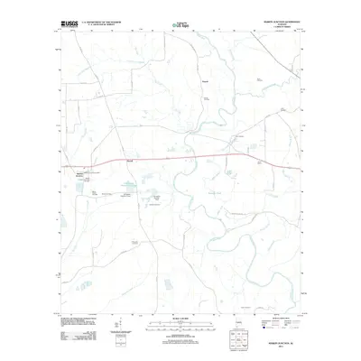
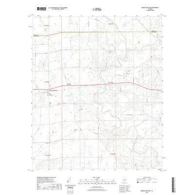
1987 Marion Junction
Dallas County, AL
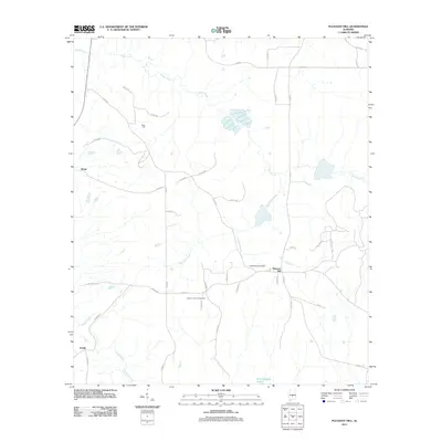
1987 Pleasant Hill
Dallas County, AL
1987 Summerfield
Dallas County, AL
1987 Tasso
Dallas County, AL
2002 Summerfield
Dallas County, AL
2011 Blackwell Bend
Dallas County, AL
2011 Browns
Dallas County, AL
2011 Burnsville
Dallas County, AL
2011 Carlowville
Dallas County, AL
2011 Central Mills
Dallas County, AL
2011 Crumptonia
Dallas County, AL
2011 Elm Bluff
Dallas County, AL
2011 Jones
Dallas County, AL
2011 Marion Junction
Dallas County, AL
2011 Pleasant Hill
Dallas County, AL
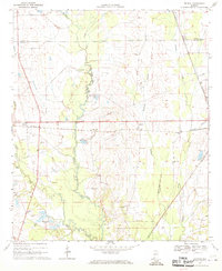
2011 Safford
Dallas County, AL
2011 Sardis
Dallas County, AL
2011 Summerfield
Dallas County, AL
2011 Tasso
Dallas County, AL
2014 Blackwell Bend
Dallas County, AL
2014 Browns
Dallas County, AL
2014 Burnsville
Dallas County, AL
2014 Carlowville
Dallas County, AL
2014 Central Mills
Dallas County, AL
2014 Crumptonia
Dallas County, AL
2014 Elm Bluff
Dallas County, AL
2014 Jones
Dallas County, AL
2014 Marion Junction
Dallas County, AL
2014 Pleasant Hill
Dallas County, AL
2014 Safford
Dallas County, AL
2014 Sardis
Dallas County, AL
2014 Summerfield
Dallas County, AL
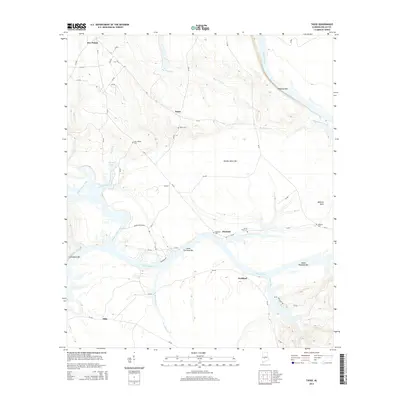
2014 Tasso
Dallas County, AL
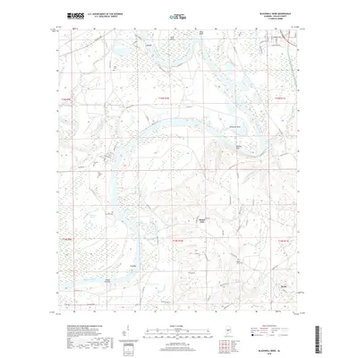
2018 Blackwell Bend
Dallas County, AL
2018 Browns
Dallas County, AL
2018 Burnsville
Dallas County, AL
2018 Carlowville
Dallas County, AL
2018 Central Mills
Dallas County, AL
2018 Crumptonia
Dallas County, AL
2018 Elm Bluff
Dallas County, AL
2018 Jones
Dallas County, AL
2018 Marion Junction
Dallas County, AL
2018 Pleasant Hill
Dallas County, AL
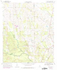
2018 Safford
Dallas County, AL
2018 Sardis
Dallas County, AL
2018 Summerfield
Dallas County, AL
2018 Tasso
Dallas County, AL
2020 Blackwell Bend
Dallas County, AL
2020 Browns
Dallas County, AL
2020 Burnsville
Dallas County, AL
2020 Carlowville
Dallas County, AL
2020 Central Mills
Dallas County, AL
2020 Crumptonia
Dallas County, AL
2020 Elm Bluff
Dallas County, AL
2020 Jones
Dallas County, AL
2020 Marion Junction
Dallas County, AL
2020 Pleasant Hill
Dallas County, AL
2020 Safford
Dallas County, AL
2020 Sardis
Dallas County, AL

2020 Tasso
Dallas County, AL
2021 Summerfield
Dallas County, AL
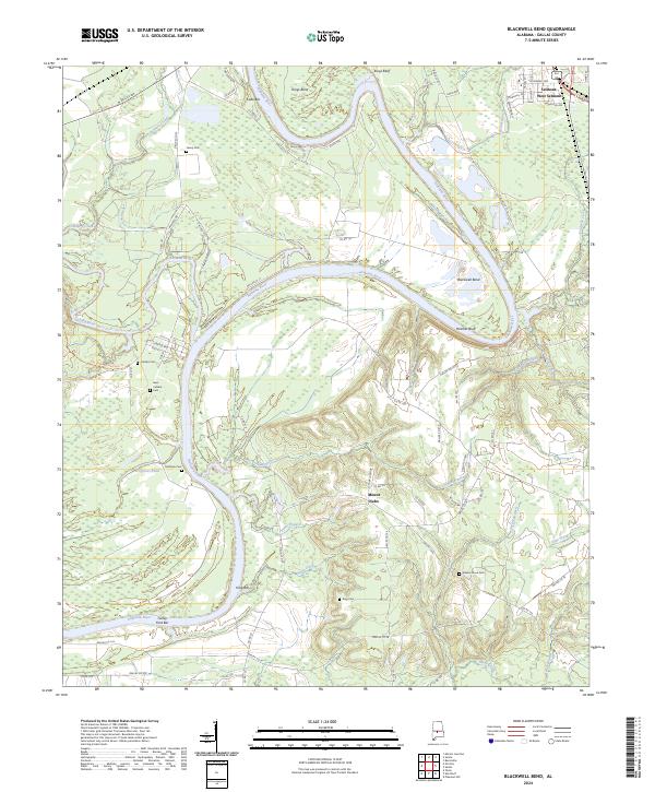
2024 Blackwell Bend
Dallas County, AL
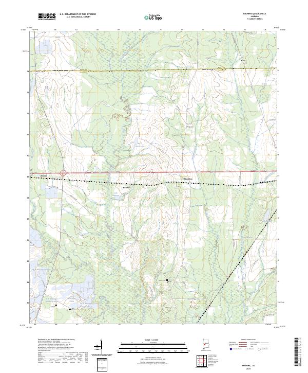
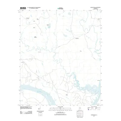
2024 Browns
Dallas County, AL
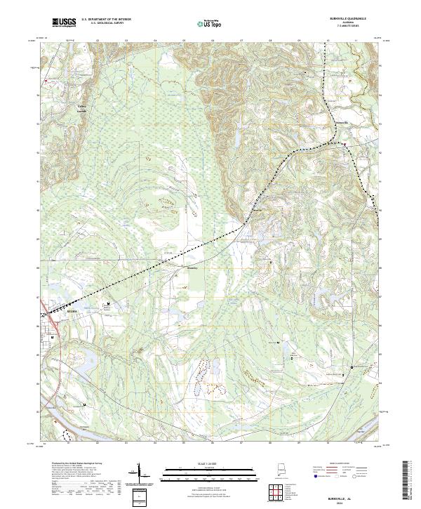
2024 Burnsville
Dallas County, AL
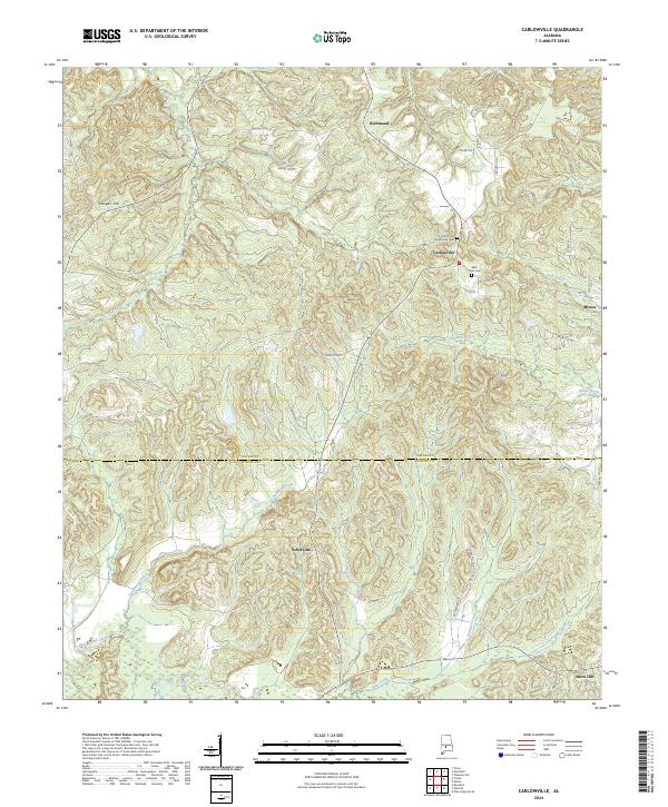
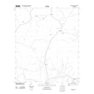
2024 Carlowville
Dallas County, AL
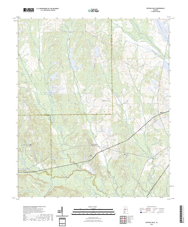
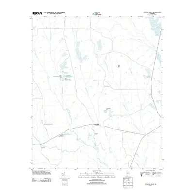
2024 Central Mills
Dallas County, AL
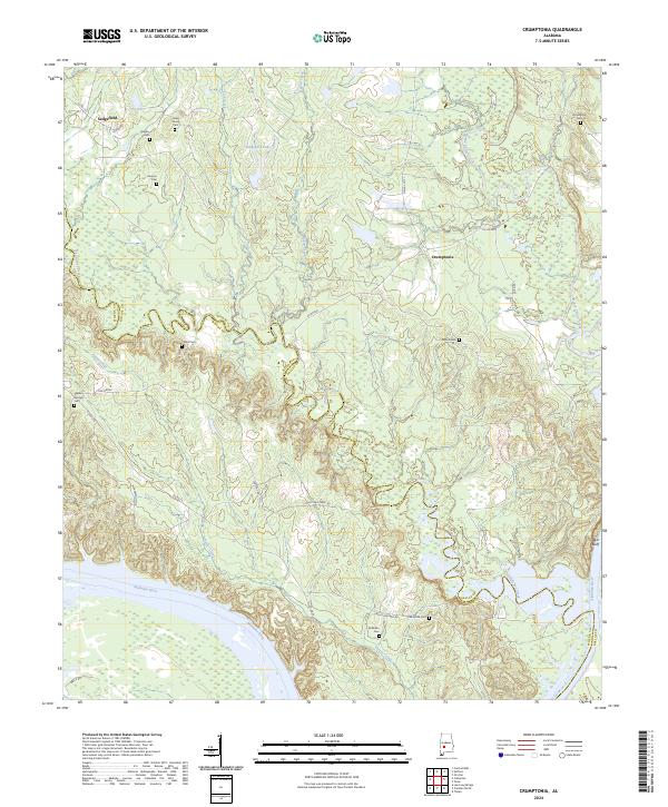
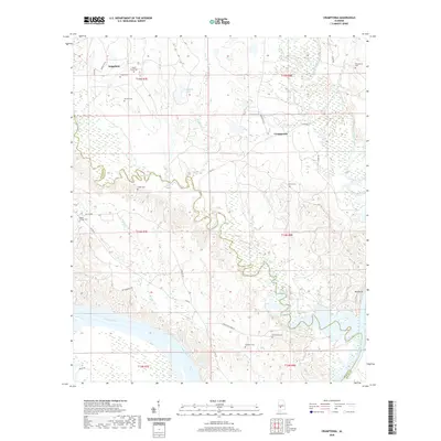
2024 Crumptonia
Dallas County, AL
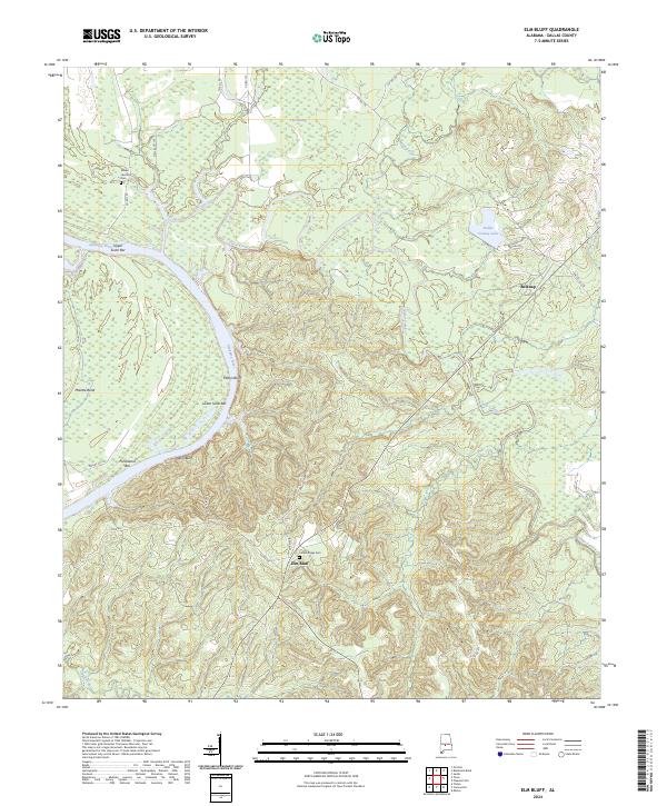
2024 Elm Bluff
Dallas County, AL
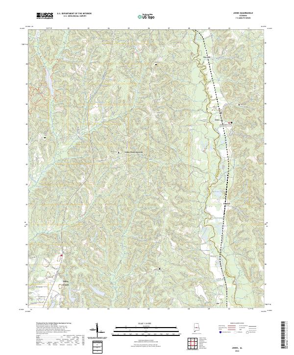
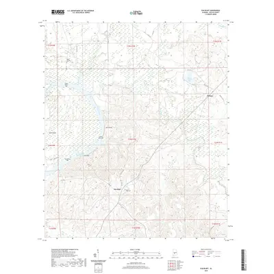
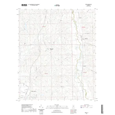
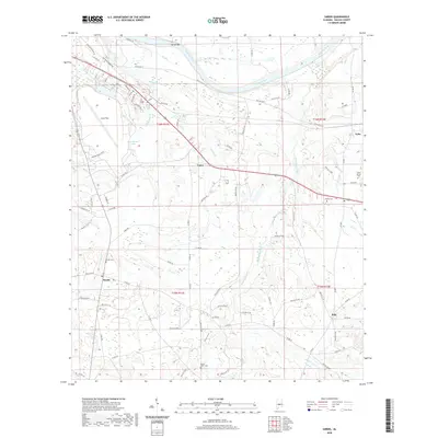
2024 Jones
Dallas County, AL
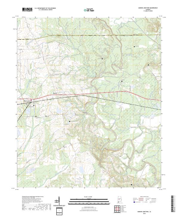
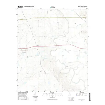
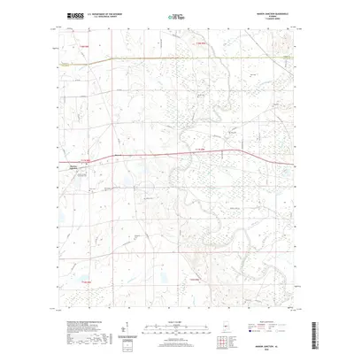
2024 Marion Junction
Dallas County, AL
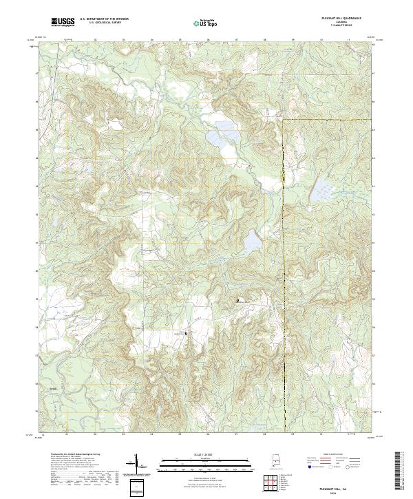
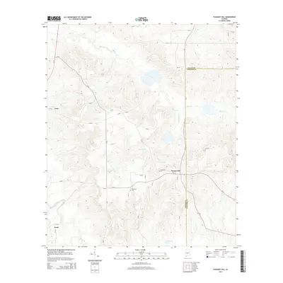
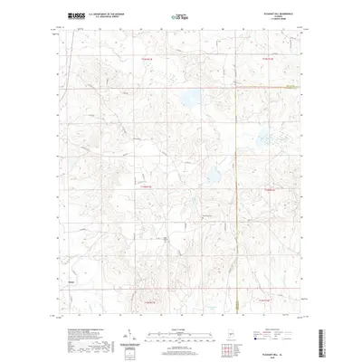
2024 Pleasant Hill
Dallas County, AL
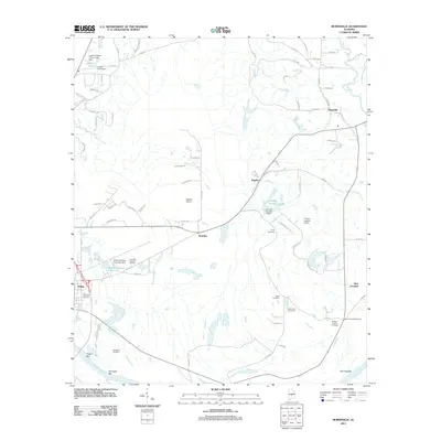
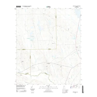
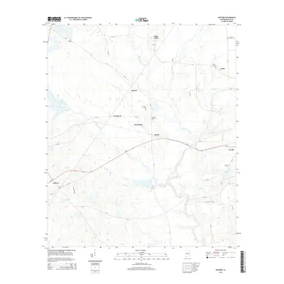
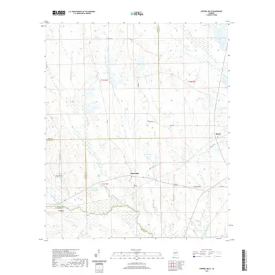
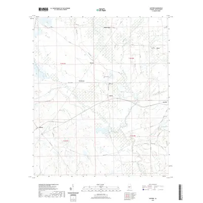
2024 Safford
Dallas County, AL
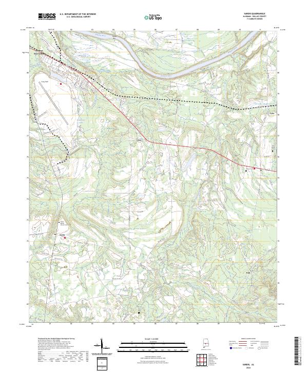
2024 Sardis
Dallas County, AL
2024 Summerfield
Dallas County, AL
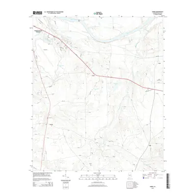
2024 Tasso
Dallas County, AL