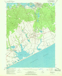
1956 Map of Sag Harbor
USGS Topo · Published 1969About this map
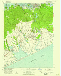
The maritime and agricultural landscape of eastern Long Island is defined by the deep indentations of Sag Harbor Cove and the expansive Mecox Bay. In the mid-1950s, the village of Sag Harbor remains a dense cluster of streets, including Madison Street and Division Street, anchored by a High Sch and several cemeteries. To the south, the Long Island Railroad cuts across the fertile coastal plain, connecting Water Mill and Bridgehampton.
Find a feature on this map
107 named features on this map. Tap any name to fly to it.
Don’t see what you’re looking for? This feature index may not catch every label — zoom into the map to look around manually.
Map Details
Editions of this 1956 Sag Harbor Map
2 editions found
Other maps of this area

1903 · Sag Harbor
USGS Topo · 1:62,500

1903 · Gardiners Island
USGS Topo · 1:62,500

1904 · Sag Harbor
USGS Topo · 1:62,500

1904 · Shelter Island
USGS Topo · 1:62,500

1904 · Easthampton
USGS Topo · 1:62,500

1904 · Gardiners Island
USGS Topo · 1:62,500

1921 · Gardiners Island
USGS Topo · 1:62,500

1921 · Easthampton
USGS Topo · 1:62,500

1944 · Gardiners Island West
USGS Topo · 1:24,000

1946 · Sag Harbor
USGS Topo · 1:24,000