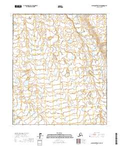
2017 Map of Sagavanirktok A-5 NW
USGS Topo · Published 2017About this map
The Kuparuk River winds through the southwestern corner of this North Slope terrain, cutting across a landscape defined by an intricate network of small lakes and ponds. This 2017 study illustrates the physical geography of the Alaskan arctic, where the land is organized into the Public Land Survey System grids of t2s r9e, t3s r9e, and t4s r9e in the west, and t2s r10e, t3s r10e, and t4s r10e in the east. The drainage patterns and water distribution shown here are essential for understanding the hydrological character of the region during the early twenty-first century. This map serves as a precise record of the remote tundra hydrology before further industrial or environmental changes affect the waterway's path.
Find a feature on this map
7 named features on this map. Tap any name to fly to it.
Don’t see what you’re looking for? This feature index may not catch every label — zoom into the map to look around manually.
Map Details
Editions of this 2017 Sagavanirktok A-5 NW Map
This is the sole edition of this map. No revisions or reprints were ever made.
Other maps of this area

1951 · Sagavanirktok D-5
USGS Topo · 1:250,000

1952 · Umiat
USGS Topo · 1:250,000

1956 · Sagavanirktok
USGS Topo · 1:250,000

1956 · Umiat
USGS Topo · 1:250,000

1958 · Sagavanirktok
USGS Topo · 1:250,000

1964 · Umiat
USGS Topo · 1:250,000

1964 · Sagavanirktok
USGS Topo · 1:250,000
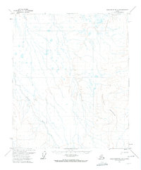
1971 · Sagavanirktok A-5
USGS Topo · 1:63,360
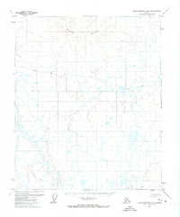
1971 · Sagavanirktok B-5
USGS Topo · 1:63,360
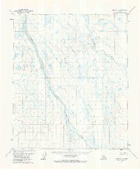
1971 · Umiat A-1
USGS Topo · 1:63,360