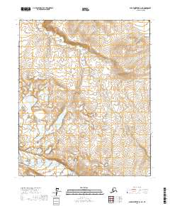
2017 Map of Sagavanirktok B-2 NE
USGS Topo · Published 2017About this map
The Kadleroshilik River serpentines across this North Slope landscape, defining the hydrology of a region marked by extensive tundra and permafrost features. In the southern reach of the quadrangle, the Echooka River appears, feeding into the broader drainage systems that characterize this part of Alaska's arctic coastal plain. This 2017 survey illustrates the complex braided nature of these watercourses as they navigate a terrain dictated by subtle elevation changes and glacial history. The map also delineates the Public Land Survey System boundaries, including t1n r18e and t2n r18e, providing a framework for understanding the administrative division of this undeveloped territory. Researchers can trace the specific channel paths of these rivers before seasonal variations or long-term geomorphic shifts alter their course.
Find a feature on this map
8 named features on this map. Tap any name to fly to it.
Don’t see what you’re looking for? This feature index may not catch every label — zoom into the map to look around manually.
Map Details
Editions of this 2017 Sagavanirktok B-2 NE Map
This is the sole edition of this map. No revisions or reprints were ever made.
Other maps of this area

1951 · Sagavanirktok D-5
USGS Topo · 1:250,000
1955 · Sagavanirktok C-1
USGS Topo · 1:63,360

1956 · Sagavanirktok
USGS Topo · 1:250,000

1958 · Sagavanirktok
USGS Topo · 1:250,000

1964 · Sagavanirktok
USGS Topo · 1:250,000
1971 · Sagavanirktok C-2
USGS Topo · 1:63,360
1971 · Sagavanirktok B-1
USGS Topo · 1:63,360
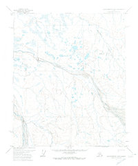
1971 · Sagavanirktok B-2
USGS Topo · 1:63,360
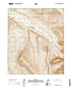
2017 · Sagavanirktok B-1 NW
USGS Topo · 1:25,000
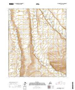
2017 · Sagavanirktok C-2 SE
USGS Topo · 1:25,000