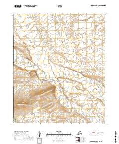
2017 Map of Sagavanirktok C-1 SW
USGS Topo · Published 2017About this map
Shaviovik River winds through the southwestern corner of this Arctic terrain, defining a drainage system that includes several significant tributaries. The landscape is dominated by the meandering paths of Juniper Creek and its shorter abbreviation Juniper Cr, which cut through the northern and central portions of the survey. In the southeastern sector, Fin Cr adds to the complex network of Arctic waterways. This 2017 study illustrates the hydrologic patterns and topographic elevation changes across several townships including t3n r19e and t2n r19e, capturing the delicate balance of this northern drainage basin before further environmental shifts.
Find a feature on this map
10 named features on this map. Tap any name to fly to it.
Don’t see what you’re looking for? This feature index may not catch every label — zoom into the map to look around manually.
Map Details
Editions of this 2017 Sagavanirktok C-1 SW Map
This is the sole edition of this map. No revisions or reprints were ever made.
Other maps of this area

1951 · Sagavanirktok D-5
USGS Topo · 1:250,000
1955 · Sagavanirktok C-1
USGS Topo · 1:63,360

1956 · Sagavanirktok
USGS Topo · 1:250,000

1958 · Sagavanirktok
USGS Topo · 1:250,000

1964 · Sagavanirktok
USGS Topo · 1:250,000
1971 · Sagavanirktok C-2
USGS Topo · 1:63,360
1971 · Sagavanirktok B-1
USGS Topo · 1:63,360
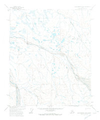
1971 · Sagavanirktok B-2
USGS Topo · 1:63,360
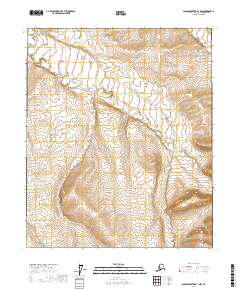
2017 · Sagavanirktok B-1 NW
USGS Topo · 1:25,000
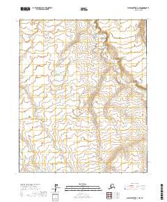
2017 · Sagavanirktok C-1 NW
USGS Topo · 1:25,000