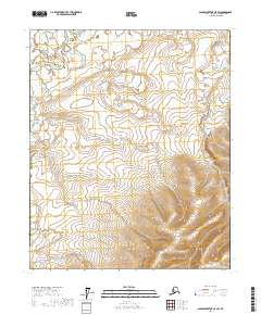
2017 Map of Sagavanirktok C-5 SW
USGS Topo · Published 2017About this map
Itkillik River winds through the northwestern corner of this Arctic terrain, providing a primary drainage feature in a landscape defined by expansive wetlands. The area is gridded by the Public Land Survey System, showing the boundaries between t3n r9e, t3n r10e, t2n r9e, and t2n r10e. This 2017 survey reveals the intricate network of water and marshland that dominates the North Slope, emphasizing the isolation and environmental character of the region. Topographic detail in the southern portion of the sheet shows a rise in elevation, contrasting with the river-fed flats further north. The map serves as a precise record of the physical geography and administrative surveying divisions near the Beaufort Sea coastal plain.
Find a feature on this map
5 named features on this map. Tap any name to fly to it.
Don’t see what you’re looking for? This feature index may not catch every label — zoom into the map to look around manually.
Map Details
Editions of this 2017 Sagavanirktok C-5 SW Map
This is the sole edition of this map. No revisions or reprints were ever made.
Other maps of this area

1951 · Sagavanirktok D-5
USGS Topo · 1:250,000

1952 · Umiat
USGS Topo · 1:250,000

1956 · Sagavanirktok
USGS Topo · 1:250,000

1956 · Umiat
USGS Topo · 1:250,000

1958 · Sagavanirktok
USGS Topo · 1:250,000

1964 · Umiat
USGS Topo · 1:250,000

1964 · Sagavanirktok
USGS Topo · 1:250,000
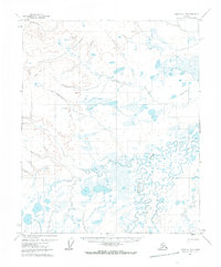
1971 · Umiat C-1
USGS Topo · 1:63,360
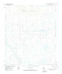
1971 · Sagavanirktok B-5
USGS Topo · 1:63,360
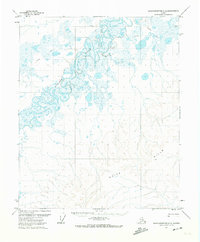
1971 · Sagavanirktok C-5
USGS Topo · 1:63,360