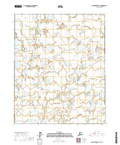
2017 Map of Sagavanirktok D-1 NW
USGS Topo · Published 2017About this map
Shaviovik River and the Kavik River meander through this Arctic landscape on the North Slope, revealing a complex network of wetlands and braided stream channels. This 2017 survey details the hydrology of the coastal plain, where the rivers navigate a low-lying terrain marked by numerous small thaw lakes and saturated ground. The cartography provides a technical look at the t8n r18e and t7n r19e townships, documenting the subtle drainage patterns that define this northern Alaskan environment. Researchers can observe the natural progression of these waterways as they flow toward the Beaufort Sea, shifting through an area devoid of permanent human settlements or infrastructure.
Find a feature on this map
8 named features on this map. Tap any name to fly to it.
Don’t see what you’re looking for? This feature index may not catch every label — zoom into the map to look around manually.
Map Details
Editions of this 2017 Sagavanirktok D-1 NW Map
This is the sole edition of this map. No revisions or reprints were ever made.
Other maps of this area

1951 · Beechey Point
USGS Topo · 1:250,000

1951 · Sagavanirktok D-5
USGS Topo · 1:250,000

1955 · Beechey Point
USGS Topo · 1:250,000

1955 · Beechey Point A-1
USGS Topo · 1:63,360

1955 · Beechey Point A-2
USGS Topo · 1:63,360
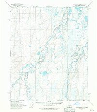
1955 · Sagavanirktok D-2
USGS Topo · 1:63,360
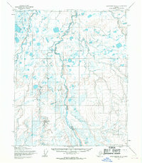
1955 · Sagavanirktok D-1
USGS Topo · 1:63,360

1956 · Sagavanirktok
USGS Topo · 1:250,000

1958 · Sagavanirktok
USGS Topo · 1:250,000

1960 · Beechey Point
USGS Topo · 1:250,000