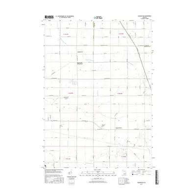
2017 Map of Saginaw NE
USGS Topo · Published 2017About this map
The agricultural landscape of eastern Saginaw County is defined by a dense network of water management features and small rural clusters. Indiantown and Robin Glen-Indiantown sit near the northern edge, where Cheboyganing Creek meanders toward the Bay County line. Further south, the community of Frankentrost anchors an area rich in family and local history, as evidenced by several dedicated burial sites including Buena Vista Cem, Saint Johns Cem, and Jason Cem.
Find a feature on this map
79 named features on this map. Tap any name to fly to it.
Don’t see what you’re looking for? This feature index may not catch every label — zoom into the map to look around manually.
Map Details
Editions of this 2017 Saginaw NE Map
This is the sole edition of this map. No revisions or reprints were ever made.
Other maps of this area

1916 · Bay City
USGS Topo · 1:62,500

1919 · Bay City
USGS Topo · 1:62,500

1919 · Saginaw
USGS Topo · 1:62,500

1941 · Saginaw
USGS Topo · 1:62,500

1943 · Bay City
USGS Topo · 1:62,500

1943 · Saginaw
USGS Topo · 1:62,500

1954 · Flint
USGS Topo · 1:250,000

1958 · Flint
USGS Topo · 1:250,000

1963 · Quanicassee
USGS Topo · 1:24,000

1963 · Reese
USGS Topo · 1:24,000
Featured Places
- Bridgeport Charter Township, MI
- Frankentrost, MI
- Frankenmuth Township, MI
- Buena Vista Charter Township, MI
- Merritt Township, MI