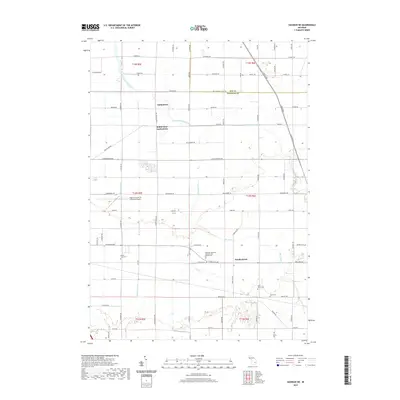
2019 Map of Saginaw NE
USGS Topo · Published 2019About this map
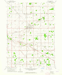
Indiantown and the nearby residential development of Robin Glen-Indiantown anchor the northern landscape of this Saginaw County region. The terrain is defined by a dense network of agricultural drainage and natural waterways, including the winding Cheboyganing Creek and Blumfield Cr, which cut through the level farmlands east of the Saginaw River valley. The settlement of Frankentrost sits further south, representing the historic German Lutheran influence that shaped much of the local rural community.
Find a feature on this map
76 named features on this map. Tap any name to fly to it.
Don’t see what you’re looking for? This feature index may not catch every label — zoom into the map to look around manually.
Map Details
Editions of this 2019 Saginaw NE Map
This is the sole edition of this map. No revisions or reprints were ever made.
Other maps of this area
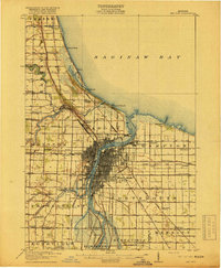
1916 · Bay City
USGS Topo · 1:62,500
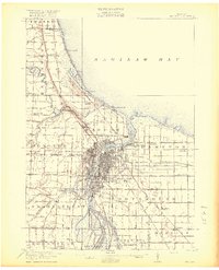
1919 · Bay City
USGS Topo · 1:62,500
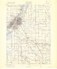
1919 · Saginaw
USGS Topo · 1:62,500
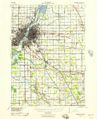
1941 · Saginaw
USGS Topo · 1:62,500
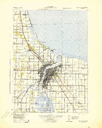
1943 · Bay City
USGS Topo · 1:62,500
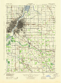
1943 · Saginaw
USGS Topo · 1:62,500

1954 · Flint
USGS Topo · 1:250,000

1958 · Flint
USGS Topo · 1:250,000
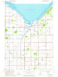
1963 · Quanicassee
USGS Topo · 1:24,000
1963 · Reese
USGS Topo · 1:24,000
Featured Places
- Bridgeport Charter Township, MI
- Frankentrost, MI
- Frankenmuth Township, MI
- Buena Vista Charter Township, MI
- Merritt Township, MI