
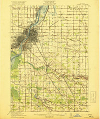
1919 Map of Saginaw
USGS Topo · Published 1919About this map
Saginaw River navigation and industrial rail transport define this 1919 landscape, where the Michigan Central, Grand Trunk, and Pere Marquette railroads converge on the city. The urban centers of Saginaw and Saginaw West Side are surrounded by a dense network of rural school districts, including Plainfield School and Ricker School, and early mining operations like the Whatcheer Mine in Merritt.
Find a feature on this map
92 named features on this map. Tap any name to fly to it.
Don’t see what you’re looking for? This feature index may not catch every label — zoom into the map to look around manually.
Map Details
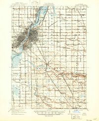
Editions of this 1919 Saginaw Map
3 editions found
Other maps of this area

1916 · Bay City
USGS Topo · 1:62,500

1917 · Chesaning
USGS Topo · 1:62,500

1917 · St. Charles
USGS Topo · 1:62,500

1919 · Bay City
USGS Topo · 1:62,500

1919 · Burt
USGS Topo · 1:62,500

1920 · Flint
USGS Topo · 1:62,500

1921 · Burt
USGS Topo · 1:62,500

1922 · Flint
USGS Topo · 1:62,500

1941 · Saginaw
USGS Topo · 1:62,500

1943 · Bay City
USGS Topo · 1:62,500