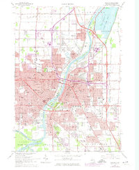
1967 Map of Saginaw
USGS Topo · Published 1974About this map
The Saginaw River serves as the industrial and geographic anchor for this mid-century portrait of Saginaw, where complex rail networks of the Grand Trunk Western RR and Chesapeake and Ohio RR converge. The urban landscape is dense with parochial education and healthcare centers, including Michigan Lutheran Seminary and St Marys Hospital, alongside numerous neighborhood institutions like St Stephens High Sch and Holy Cross Sch.
Find a feature on this map
132 named features on this map. Tap any name to fly to it.
Don’t see what you’re looking for? This feature index may not catch every label — zoom into the map to look around manually.
Map Details
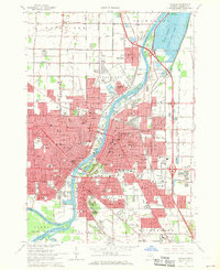
Editions of this 1967 Saginaw Map
2 editions found
Other maps of this area

1916 · Bay City
USGS Topo · 1:62,500

1917 · St. Charles
USGS Topo · 1:62,500

1919 · Bay City
USGS Topo · 1:62,500

1919 · Saginaw
USGS Topo · 1:62,500

1941 · Saginaw
USGS Topo · 1:62,500

1943 · Bay City
USGS Topo · 1:62,500

1943 · Saginaw
USGS Topo · 1:62,500

1943 · St. Charles
USGS Topo · 1:62,500

1954 · Midland
USGS Topo · 1:250,000

1954 · Flint
USGS Topo · 1:250,000