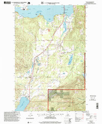
1996 Map of Sagle
USGS Topo · Published 1999About this map
Pend Oreille River frontage and the southern reaches of Lake Pend Oreille define this portion of Bonner County during the mid-1990s. The landscape is a mix of protected timberland within the Kaniksu National Forest and rural settlements that follow the corridor of the Union Pacific railroad. Small communities like Sagle, Algoma, Dufort, and Westmond are centered around this transportation spine, which parallels the main highway heading south toward Cocolalla.
Find a feature on this map
47 named features on this map. Tap any name to fly to it.
Don’t see what you’re looking for? This feature index may not catch every label — zoom into the map to look around manually.
Map Details
Editions of this 1996 Sagle Map
This is the sole edition of this map. No revisions or reprints were ever made.
Other maps of this area

1901 · Sandpoint
USGS Topo · 1:125,000

1911 · Priest Lake
USGS Topo · 1:250,000

1911 · Sandpoint
USGS Topo · 1:125,000

1913 · Priest Lake
USGS Topo · 1:250,000

1949 · Packsaddle Mtn
USGS Topo · 1:62,500

1951 · Packsaddle Mtn
USGS Topo · 1:62,500

1951 · Elmira
USGS Topo · 1:62,500

1958 · Sandpoint
USGS Topo · 1:250,000

1963 · Sandpoint
USGS Topo · 1:250,000
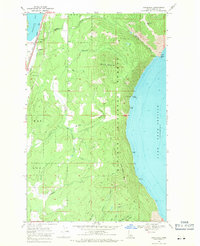
1968 · Cocolalla
USGS Topo · 1:24,000