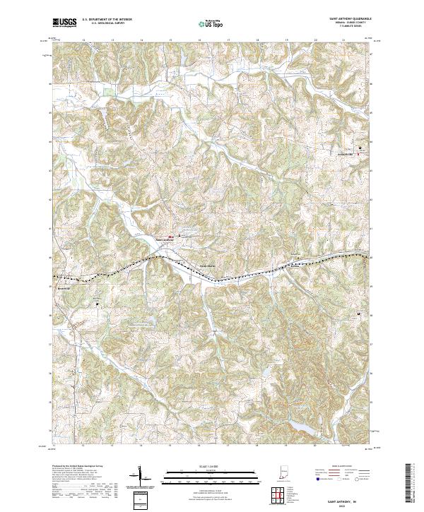
2022 Map of Saint Anthony
USGS Topo · Published 2022About this map
Saint Anthony and the neighboring settlements of Saint Marks and Kyana anchor this portion of Dubois County, where the landscape is defined by the winding drainages of Flat Creek and Hall Cr. The community of Schnellville sits at the northeastern corner, marked by the Sacred Heart Cem. These small villages are connected by a network of rural roads such as E Schnellville Rd and Indiana 64, reflecting a traditional midwestern settlement pattern centered on local parishes and cemeteries. Local history is etched into the land through sites like Saint Anthony Cem and Bretzville Cem. The terrain is punctuated by numerous small water bodies, including Habig Lake, Birk Lake, and the Saint Anthony Conservation Club Lake, alongside the newer residential development around Holiday Lake.
Find a feature on this map
85 named features on this map. Tap any name to fly to it.
Don’t see what you’re looking for? This feature index may not catch every label — zoom into the map to look around manually.
Map Details
Editions of this 2022 Saint Anthony Map
This is the sole edition of this map. No revisions or reprints were ever made.
Other maps of this area

1900 · St Meinrad
USGS Topo · 1:62,500

1903 · St. Meinrad
USGS Topo · 1:62,500

1946 · Jasper
USGS Topo · 1:24,000

1954 · Dubois
USGS Topo · 1:24,000

1954 · Huntingburg
USGS Topo · 1:24,000

1955 · Saint Anthony
USGS Topo · 1:24,000

1956 · Vincennes
USGS Topo · 1:250,000

1957 · Vincennes
USGS Topo · 1:250,000

1957 · Cuzco
USGS Topo · 1:24,000

1957 · Birdseye
USGS Topo · 1:24,000