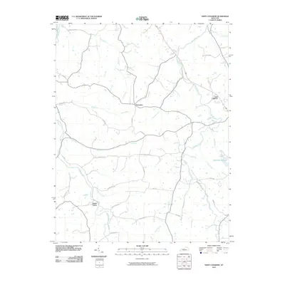
2010 Map of Saint Catharine
USGS Topo · Published 2010About this map
Saint Catharine and the surrounding Kentucky countryside appear here in detail, defined by a dense network of winding creeks and family-named roads. The landscape is dominated by the drainage systems of Cartwright Creek and Hardins Creek, which carve through the terrain alongside numerous branches and runs. Small settlements like Bearwallow and Burkes Spring anchor the rural infrastructure, while the Springfield Reservoir sits on the eastern edge of the quadrangle. Local industry and heritage are signaled by the presence of Maker's Mark Rd near the southern border. Transportation history is visible through arterial routes such as Old Elizabethtown Rd, which reflects the early connectivity between these central Kentucky communities. The map provides a precise look at the land division and water resources, from the Beech Fork in the northwest to the many named runs like Station Run and Parker Run.
Find a feature on this map
41 named features on this map. Tap any name to fly to it.
Don’t see what you’re looking for? This feature index may not catch every label — zoom into the map to look around manually.
Map Details
Editions of this 2010 Saint Catharine Map
This is the sole edition of this map. No revisions or reprints were ever made.
Other maps of this area

1953 · Loretto
USGS Topo · 1:24,000

1953 · Brush Grove
USGS Topo · 1:24,000

1953 · Maud
USGS Topo · 1:24,000

1953 · Saint Catharine
USGS Topo · 1:24,000

1953 · Lebanon East
USGS Topo · 1:24,000

1953 · Bardstown
USGS Topo · 1:24,000

1953 · Springfield
USGS Topo · 1:24,000

1953 · Raywick
USGS Topo · 1:24,000

1953 · Lebanon West
USGS Topo · 1:24,000

1957 · Winchester
USGS Topo · 1:250,000