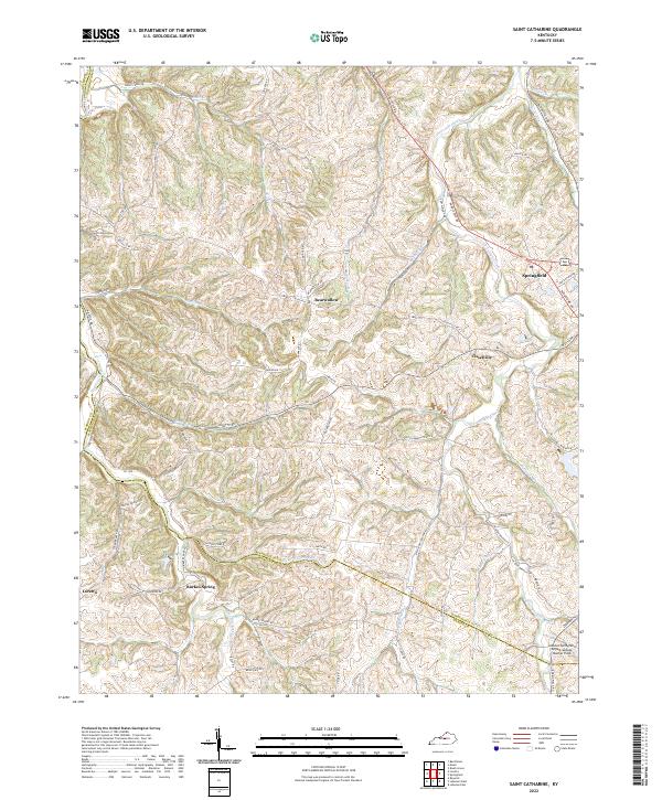
2022 Map of Saint Catharine
USGS Topo · Published 2022About this map
Springfield and Loretto anchor this central Kentucky landscape, where the rural topography of Washington and Marion counties is defined by a dense network of watercourses and winding country roads. The transition between these small communities is marked by minor settlements such as Bearwallow, Cisselville, and Burkes Spring, each situated near the drainages of Cartwright Creek and Hardins Creek. These waterways, including Hickory Camp Run and Station Run, historically influenced the placement of farms and early transport routes throughout the region. The modern landscape includes the Lebanon Springfield Airport-George Hoerter Field and roads reflecting the local bourbon industry, such as Makers Mark Rd, alongside more idiosyncratic names like Beantown Rd. This data-driven look at the area highlights the persistent pattern of ridge-top roads and creek-bottom agricultural land that has shaped this portion of the Bluegrass region.
Find a feature on this map
66 named features on this map. Tap any name to fly to it.
Don’t see what you’re looking for? This feature index may not catch every label — zoom into the map to look around manually.
Map Details
Editions of this 2022 Saint Catharine Map
This is the sole edition of this map. No revisions or reprints were ever made.
Other maps of this area

1953 · Loretto
USGS Topo · 1:24,000

1953 · Brush Grove
USGS Topo · 1:24,000

1953 · Maud
USGS Topo · 1:24,000

1953 · Saint Catharine
USGS Topo · 1:24,000

1953 · Lebanon East
USGS Topo · 1:24,000

1953 · Bardstown
USGS Topo · 1:24,000

1953 · Springfield
USGS Topo · 1:24,000

1953 · Raywick
USGS Topo · 1:24,000

1953 · Lebanon West
USGS Topo · 1:24,000

1957 · Winchester
USGS Topo · 1:250,000