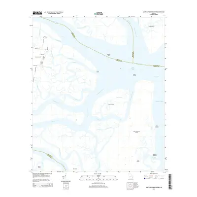
2014 Map of Saint Catherines Sound
USGS Topo · Published 2014About this map
Yellow Bluff and the northwestern edge of Colonels Island anchor the western marshes of this coastal Georgia landscape, where complex tidal networks define the boundaries of four counties. The intersection of the Medway River and the North Newport River creates a labyrinthine geography of hammocks and sounds, including the protected waters of Saint Catherines Sound. The map reveals the intricate natural drainage system essential to the Georgia coast, featuring Bear River, the Timmons River, and the Intracostal Waterway cutting through the marshlands.
Find a feature on this map
54 named features on this map. Tap any name to fly to it.
Don’t see what you’re looking for? This feature index may not catch every label — zoom into the map to look around manually.
Map Details
Editions of this 2014 Saint Catherines Sound Map
This is the sole edition of this map. No revisions or reprints were ever made.
Other maps of this area

1920 · Sapelo River
USGS Topo · 1:62,500

1920 · Limerick
USGS Topo · 1:62,500

1928 · St Catherines Island
USGS Topo · 1:62,500

1943 · St Catherines Island
USGS Topo · 1:62,500

1943 · Sapelo River
USGS Topo · 1:62,500

1944 · Limerick
USGS Topo · 1:62,500

1944 · Ossabaw Island
USGS Topo · 1:62,500

1945 · St. Catherine's Island
USGS Topo · 1:62,500

1945 · Ossabaw Island
USGS Topo · 1:62,500

1945 · Sapelo River
USGS Topo · 1:62,500