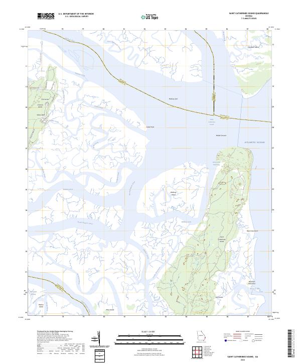
2024 Map of Saint Catherines Sound
USGS Topo · Published 2024About this map
Saint Catherines Island and its surrounding tidal landscape dominate this contemporary coastal survey, where the Atlantic tides meet a complex network of salt marshes and rivers. The Intracoastal Waterway threads through the sounds and creeks, passing landmarks like Middle Ground and Walburg Island. On the mainland, the Harris Neck National Wildlife Refuge preserves a significant portion of the riverine environment near the Mollclark River and the South Newport River.
Find a feature on this map
50 named features on this map. Tap any name to fly to it.
Don’t see what you’re looking for? This feature index may not catch every label — zoom into the map to look around manually.
Map Details
Editions of this 2024 Saint Catherines Sound Map
This is the sole edition of this map. No revisions or reprints were ever made.
Other maps of this area

1920 · Sapelo River
USGS Topo · 1:62,500

1920 · Limerick
USGS Topo · 1:62,500

1928 · St Catherines Island
USGS Topo · 1:62,500

1943 · St Catherines Island
USGS Topo · 1:62,500

1943 · Sapelo River
USGS Topo · 1:62,500

1944 · Limerick
USGS Topo · 1:62,500

1944 · Ossabaw Island
USGS Topo · 1:62,500

1945 · St. Catherine's Island
USGS Topo · 1:62,500

1945 · Ossabaw Island
USGS Topo · 1:62,500

1945 · Sapelo River
USGS Topo · 1:62,500