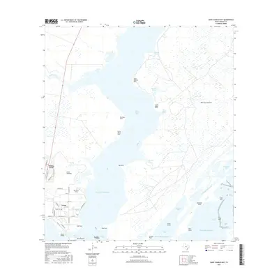
2016 Map of Saint Charles Bay
USGS Topo · Published 2016About this map
Saint Charles Bay dominates this coastal landscape, separating the Black Jack Peninsula to the east from the Lamar Peninsula to the west. In the south, the community of Lamar sits near the entrance to the bay, where local history is anchored by the Lamar Cem and the natural boundaries of Goose Island. The geography is defined by a complex network of wetlands and tidal inlets, including Big Devil Bayou, McHugh Bayou, and Bill Mott Bayou, reflecting the intricate drainage patterns of the Texas Gulf Coast.
Find a feature on this map
56 named features on this map. Tap any name to fly to it.
Don’t see what you’re looking for? This feature index may not catch every label — zoom into the map to look around manually.
Map Details
Editions of this 2016 Saint Charles Bay Map
This is the sole edition of this map. No revisions or reprints were ever made.
Other maps of this area

1952 · St. Charles Bay SW
USGS Topo · 1:24,000

1952 · St. Charles Bay
USGS Topo · 1:24,000

1952 · Mesquite Bay
USGS Topo · 1:24,000

1952 · Tivoli SE
USGS Topo · 1:24,000

1952 · Tivoli SW
USGS Topo · 1:24,000

1952 · St. Charles Bay SE
USGS Topo · 1:24,000

1953 · Beeville
USGS Topo · 1:250,000

1954 · Rockport
USGS Topo · 1:62,500

1954 · Vidaurri
USGS Topo · 1:62,500

1956 · Beeville
USGS Topo · 1:250,000