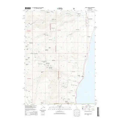
2013 Map of Saint Charles
USGS Topo · Published 2013About this map
The western shores of Bear Lake define this high-altitude landscape along the Idaho-Utah border, where the communities of Saint Charles, Fish Haven, and Glencoe are situated between the water and the rising slopes of the Cache National Forest. In the northern portion of the map, Saint Charles is organized on a traditional grid system with streets such as N Main St and Center St, serving as a gateway to the steep drainages of Saint Charles Canyon and Green Canyon.
Find a feature on this map
78 named features on this map. Tap any name to fly to it.
Don’t see what you’re looking for? This feature index may not catch every label — zoom into the map to look around manually.
Map Details
Editions of this 2013 Saint Charles Map
This is the sole edition of this map. No revisions or reprints were ever made.
Other maps of this area

1909 · Montpelier
USGS Topo · 1:125,000

1911 · Montpelier
USGS Topo · 1:125,000

1912 · Randolph
USGS Topo · 1:125,000

1914 · Logan
USGS Topo · 1:125,000

1915 · Preston
USGS Topo · 1:96,000

1916 · Logan
USGS Topo · 1:125,000

1918 · Preston
USGS Topo · 1:125,000

1954 · Ogden
USGS Topo · 1:250,000

1955 · Preston
USGS Topo · 1:250,000

1958 · Ogden
USGS Topo · 1:250,000